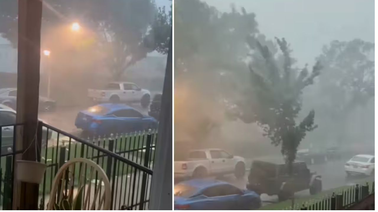
INDIANAPOLIS, Indiana — Forecasters are issuing a serious warning for millions of people across Indiana and Ohio on Tuesday, August 11, and the window to prepare is closing fast.
The severe weather outlook has been updated and shifted further south, placing Indianapolis, Dayton, Cincinnati, and surrounding communities directly inside the highest-risk zone for damaging wind gusts reaching 65 to 80 mph.
What the Risk Zones Mean for Your Area
The highest-risk zone stretches from Joliet and Chicago through Fort Wayne, Lafayette, Muncie, Indianapolis, Columbus, Dayton, Cincinnati, and Huntington.
If you live in or near any of these cities, damaging winds are considered highly likely before the day is over.
A broader surrounding zone covers Milwaukee, Toledo, Cleveland, and Pittsburgh, where gusts of 55 to 70 mph remain possible. Both zones also carry large hail up to 1 inch in diameter and an isolated tornado risk.
When the Worst Is Expected to Hit
Timing differs depending on where you are located.
For the northern part of the risk area — Chicago, South Bend, and Fort Wayne — the threat arrives during afternoon hours.
For Indianapolis, Louisville, and Cincinnati, conditions are expected to deteriorate into the evening. That is the window when families are home from work, kids may be outside, and dangerous gusts can arrive with little warning.
The Four Cities Forecasters Are Watching Most Closely
The updated outlook specifically names Chicago, Indianapolis, Cincinnati, and Louisville as the most impacted cities today. All four fall within or near the highest-risk corridor where damaging winds are the primary concern.
Worth noting: the outlook has already been adjusted once, shifting further south than originally forecast. The situation is still evolving.
Do Not Wait to Act
Bring in or secure any outdoor furniture, tools, or loose items that could become dangerous in high winds.
Avoid unnecessary travel during the evening hours if you are in the risk zone. Keep a reliable weather alert source close throughout the day.
Are you in the path of today’s storm? Share what conditions look like in your area in the comments — it helps your neighbors stay one step ahead.