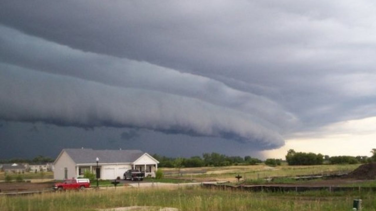
CHICAGO, Illinois — A dangerous storm system is bearing down on the Chicago area Tuesday, and forecasters are not mincing words about what it could bring.
A Level 3 of 5 Enhanced Risk for severe weather has been issued directly over Chicago and into the Ohio Valley, the highest threat category in the region for the day.
A Derecho Is Possible — and That Is a Serious Concern
The storm cluster is tracking southeast out of Iowa, fueled by strong atmospheric instability.
Forecasters have specifically flagged derecho potential. A derecho is not a tornado — it is a long-lived, fast-moving line of storms capable of producing straight-line winds across hundreds of miles in a matter of hours.
Wind gusts exceeding 75 mph are possible. That is strong enough to bring down trees, knock out power lines, and cause significant structural damage.
Who Else Is in the Path
The threat does not stop at Chicago.
A Level 2 Slight Risk stretches from near Minneapolis through St. Louis and the Ohio Valley, reaching toward Washington, D.C. A Level 1 Marginal Risk extends further, covering Detroit, Philadelphia, New York, and Boston.
Early storms forming over Indiana and Ohio will push east throughout the day, carrying a damaging wind threat into parts of the Mid-Atlantic by this afternoon and evening.
Large Hail Threat Across the Dakotas
Away from the main wind corridor, a separate hazard is developing.
Supercells across portions of the Dakotas could produce hail stones exceeding 2 inches in diameter — roughly the size of a golf ball — posing serious risk to property and vehicles.
Stay Alert Throughout the Day
Conditions are expected to evolve quickly. Residents across Chicago, the Ohio Valley, and the Mid-Atlantic should monitor local alerts closely and avoid unnecessary travel if severe warnings are issued in their area.
Do not wait for the storm to arrive before taking it seriously.
Are you in the path of today’s storm system? Share what conditions look like in your area in the comments below.