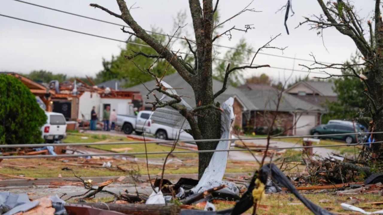
Chicago, Illinois — After a powerful storm system produced multiple tornadoes across northern Illinois and northwest Indiana earlier this week, forecasters are monitoring another round of potentially strong thunderstorms expected to move through the region this weekend.
While meteorologists stress that the upcoming threat is considerably lower than the severe weather outbreak seen on Thursday, residents are still being urged to stay weather-aware as storms could bring damaging winds, heavy downpours, and dangerous lightning.
Storm Threat Returns But Risk Levels Are Lower
According to forecasters, Saturday’s storm risk falls within the marginal and slight risk categories, the two lowest levels used by the National Weather Service to classify severe weather potential.
That means widespread severe weather is not expected, but isolated strong storms remain possible across portions of Illinois and northwest Indiana.
Areas south of Interstate 80 are expected to face the greatest risk, while western Illinois could experience a somewhat higher chance of stronger thunderstorm development.
The primary hazards associated with the storms include heavy rainfall, gusty winds, and frequent lightning strikes.
Damaging Wind Gusts Remain Possible
Although the tornado threat appears significantly lower than earlier in the week, forecasters say a few storms could still become strong enough to produce damaging wind gusts.
Some thunderstorms may generate winds exceeding 60 miles per hour, particularly during the evening hours when storm activity is expected to become more widespread.
Strong wind gusts can bring down tree limbs, cause scattered power outages, and create hazardous travel conditions.
Residents planning outdoor activities Saturday evening are encouraged to monitor weather updates and be prepared to seek shelter if storms develop.
Dry Start Expected Before Storms Develop
The day is expected to begin on a pleasant note across much of the Chicago area.
Forecasters predict sunshine, relatively low humidity, and comfortable conditions during the morning hours before clouds gradually increase throughout the afternoon.
A few thunderstorms could begin developing south of Interstate 80 around 2 p.m., although meteorologists caution that storm formation is not guaranteed.
If storms do develop during the afternoon, they could quickly produce brief heavy rainfall, gusty winds, and dangerous cloud-to-ground lightning.
The potential for thunderstorms is expected to increase later in the day and continue into the evening.
Rain Chances Continue Overnight Into Sunday
As the storm system moves through the region, scattered showers and thunderstorms may linger well into Saturday night.
Forecasters say rain chances will continue overnight, with scattered showers potentially lasting through the early morning hours on Sunday.
Some lingering showers could remain in the area around sunrise before gradually moving out.
Nearly 50 Million at Risk as Dangerous Storm Outbreak Targets Midwest and East Coast
By late Sunday morning and afternoon, conditions are expected to improve, with partly sunny skies and drier weather returning to much of the region.
The break from active weather is not expected to last long, however.
Cooler Temperatures and More Storms Ahead
Looking ahead to the start of the workweek, another chance of showers and thunderstorms is forecast for Monday.
The next system is expected to arrive alongside noticeably cooler temperatures, with highs dropping into the mid-70s, providing a break from the warmer conditions experienced recently.
While forecasters continue to refine the forecast, residents are encouraged to remain alert for changing weather conditions throughout the weekend, especially in areas that experienced severe weather earlier this week.
With storm season in full swing, weather experts remind everyone to have multiple ways to receive warnings and stay informed about rapidly changing conditions.
Have you experienced severe weather in your area recently? How do you prepare for storms, tornado warnings, or power outages? Share your thoughts and experiences respectfully in the comments below.