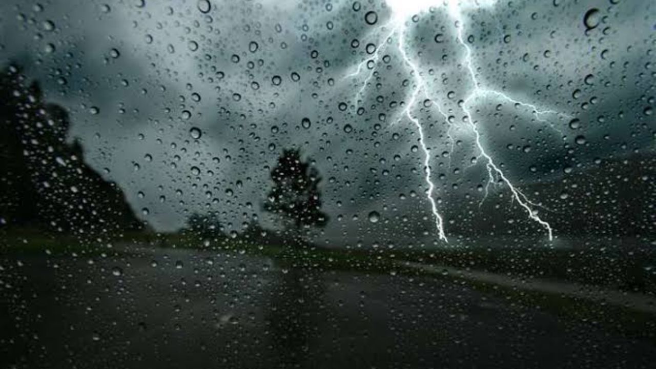
A flood emergency of catastrophic proportions is unfolding across south-central Texas tonight — and forecasters say the worst is still hours away.
Meteorologists are warning that an additional 5 to 10 inches of rain could slam the region through early Friday, with the heaviest storms capable of dropping 2 to 4 inches in a single hour. For communities already saturated from days of relentless rain, that number is not just alarming — it is potentially deadly.
The Texas Hill Country and surrounding areas — including San Antonio, Del Rio, Sonora and Eagle Pass — remain under the highest threat. Rivers, creeks and normally dry washes are expected to rise with little to no warning. Neighborhoods, highways and low-water crossings could be swallowed by floodwaters before residents have time to react.
Emergency officials are delivering a stark message: do not get in your car tonight.
Moving water does not need to be deep to be fatal. Even a few inches of fast-moving floodwater can overpower a vehicle and carry it downstream. After dark, that risk multiplies — rising water becomes nearly invisible until it is too late.
Residents in flood-prone areas are urged to move to higher ground immediately if warnings are issued nearby. Having multiple ways to receive emergency alerts — a weather radio, phone alerts, or a local news app — could be the difference between life and death in a fast-moving situation like this.
Flash Flood Warnings, Flash Flood Emergencies and river flood alerts are expected to continue issuing through Friday morning as this dangerous event develops further.
This is not a storm to wait out at home near a low-lying area. Officials stress that decisions made in the next few hours could determine outcomes for entire families.
Stay off the roads. Monitor alerts. Do not wait for water to reach your door.