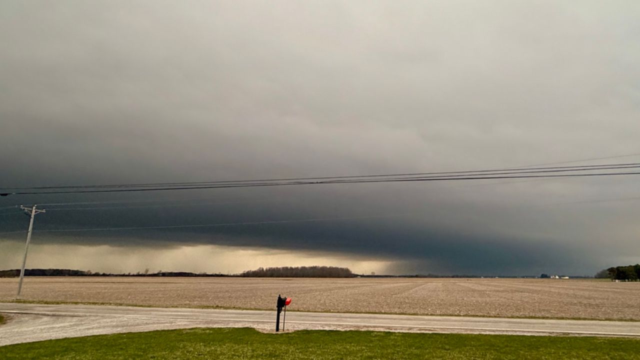
CHICAGO, Illinois — Forecasters are watching a setup that has them genuinely concerned heading into Tuesday.
A stationary front draped across the region is expected to fire off intense thunderstorms during the mid-afternoon hours. The initial storms alone carry a threat for severe wind gusts and an isolated tornado. But that is not what is worrying meteorologists most.
The bigger concern comes later in the day.
A Derecho Could Be Building
If individual supercells merge and a cold pool develops beneath the storm complex, the entire system could reorganize into something far more destructive — a derecho.
That scenario would send winds exceeding 75 mph sweeping across a wide swath of the Ohio Valley. These are not just strong gusts. At that level, trees fall, power lines come down, and damage can spread across hundreds of miles in a matter of hours.
Who Is in the Target Zone
The Storm Prediction Center placed a Level 2 of 5 Slight Risk across a corridor running from near Chicago and St. Louis all the way through Washington D.C. and close to Philadelphia.
A broader Level 1 Marginal Risk stretches from Minneapolis through Detroit and toward New York and Boston.
The most dangerous window falls during the mid-afternoon and evening hours on Tuesday, August 11.
What Residents Should Do Now
If you are anywhere from Chicago to D.C., this is not a storm to track casually.
Charge your devices now. Know where you will shelter if warnings are issued. Move anything outside that could become a projectile in high winds.
The situation could escalate quickly — and the time to prepare is before the storms arrive, not after.
Forecasters note that confidence in the widespread wind threat is likely to increase as the day progresses. That means conditions could look significantly worse by Tuesday afternoon than they do right now.
Do not wait for a warning to take this seriously.
Are you in the path of Tuesday’s storm system? Share what you are seeing in your area in the comments below.