INDIANAPOLIS, Indiana — Most of the city is still asleep, but a dangerous line of storms is already on its way.
Radar tracked the system at 3:30 AM ET Monday, with forecasters putting Indianapolis arrival just before 5:30 AM. The window to prepare is short.
Here is when storms reach your area
Kokomo is first, with arrival around 3:54 AM. Alexandria follows near 4:38 AM. Anderson and Muncie come in at approximately 4:57 AM.
Carmel is projected to see storms around 4:54 AM. Noblesville and Lawrence follow near 5:25 AM. Greenfield and New Castle are both in the path by 5:30 AM.
Wind leads the threat, but is not the only danger
Damaging wind gusts top the threat list — the kind that drop trees onto roads and knock out power before sunrise.
Hail is also possible. An isolated tornado cannot be ruled out for parts of the metro during these early morning hours.
The greatest severe risk runs from Greencastle and Danville in the west, through Indianapolis, and southeast toward Rushville and Connersville.
Flash flooding is a real concern too
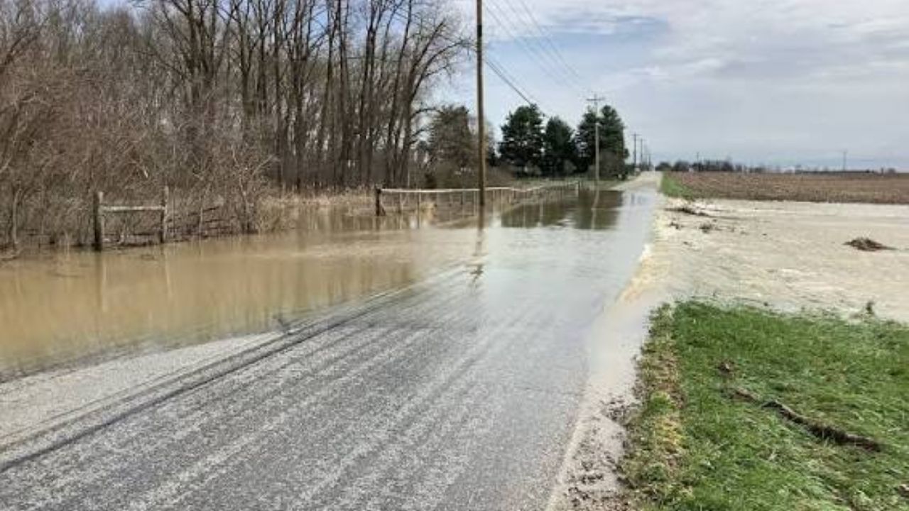
Rain totals could reach 2 inches. In low-lying areas and neighborhoods with poor drainage, localized flash flooding is possible.
Morning commuters should check road conditions before heading out.
Monday is only the first round
Forecasters say additional rounds of severe weather are expected across the Indianapolis region throughout the week. This pattern is not going away quickly.
Keep weather alerts turned on. Avoid unnecessary early morning travel if your area is in the path.
Are you tracking this storm from Indianapolis or a nearby community? Let others know what you are seeing in the comments.