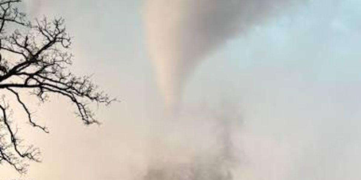
INDIANAPOLIS, INDIANA — The National Weather Service has flagged a developing severe weather threat across parts of the Midwest for Thursday night, warning that an isolated tornado could touch down in a zone stretching across southern Illinois, southwestern Indiana, and sections of Missouri. Officials say a wider stretch of the region should also brace for strong to locally severe thunderstorms as the system pushes eastward through the evening.
Highest Tornado Risk Zone Includes Carbondale and Evansville Corridor
According to weather service data, the greatest chance for an isolated tornado is concentrated in a corridor running from near Carbondale, Illinois, toward Evansville and into southern Indiana. Radar simulations for around 11 p.m. Thursday already showed multiple storm cells with intense reflectivity forming along this path, with the most dangerous cores appearing in red and orange on forecast maps.
Forecasters have marked this stretch as the zone carrying the highest likelihood of tornadic activity as the storm system continues its eastward push overnight.
Wider Severe Storm Watch Stretches Across Central Indiana
Outside the primary tornado corridor, a much larger swath of the region remains under a strong-to-severe storm outlook. This broader risk area extends from southern Illinois and Missouri all the way through Indianapolis, Muncie, and Fort Wayne, meaning residents outside the main tornado threat zone could still see damaging wind gusts, hail, or heavy downpours.
Cities such as Bloomington, Terre Haute, and Kokomo also fall inside this expanded watch zone, with forecasters expecting the storm line to keep shifting east-northeast deep into the overnight hours.
Storm System Expected to Push East Through Overnight Hours
Radar tracking shows the entire storm cluster steadily advancing eastward and northeastward, a trend meteorologists expect to hold through the night. The National Weather Service says it will continue issuing updates as the system develops, urging residents across the affected corridor — especially near Carbondale and Evansville — to stay alert and monitor local alerts through the late evening.