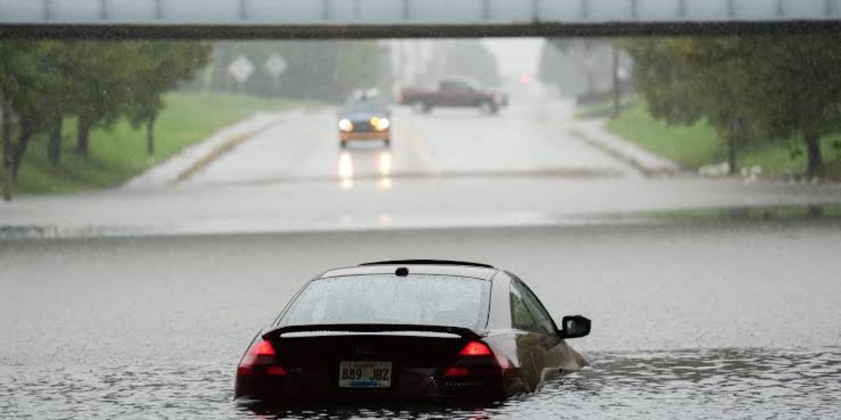
LOUISVILLE, KENTUCKY — A Flash Flood Warning has been issued for the greater Louisville metro area after a series of fast-forming afternoon storms stalled over the region, dropping rainfall totals far beyond initial forecasts. The National Weather Service confirmed the warning will remain active until at least 4:45 p.m. local time, with flooding already reported on the ground rather than merely anticipated.
Warning Covers Multiple Louisville Communities
According to weather service radar data reviewed shortly after 2:25 p.m., the alert stretches across a wide band of the metro region, including New Albany, Louisville proper, Windy Hills, Lyndon, and Douglass Hills. Unlike a standard advisory, this warning was upgraded based on confirmed flooding rather than projected risk, meaning emergency crews have already responded to affected roads in the area.
Rainfall measurements gathered over a three-hour window show some neighborhoods within the warning zone received between 2 and nearly 6 inches of rain, with radar estimates suggesting isolated pockets may have seen even heavier accumulation.
Southeast Louisville Hit Hardest
Neighborhoods on the southeast side of the river, including Jeffersontown, Douglass Hills, and Windy Hills, bore the brunt of the deluge, with local totals ranging from roughly 1.5 to 2.5 inches. A second, separate warning polygon was activated farther east near Simpsonville and Shelbyville after storms dumped comparable rainfall there as well, prompting authorities to track that zone independently.
Crawling Storm Speed Blamed for Flooding Severity
Meteorological data cited by officials pointed to an unusually sluggish storm movement — clocked at just 3 mph — as the main driver behind the flash flooding. Because the storm cells barely advanced, the same neighborhoods absorbed repeated bursts of heavy rain instead of experiencing a quick pass-through, causing water to pool faster than drainage systems could handle.
Officials Urge Drivers to Avoid Flooded Roads
Emergency officials are asking residents across all warned areas to steer clear of flooded roadways and to monitor local alerts closely, as the Flash Flood Warning is expected to remain active through at least 4:45 p.m. Additional warnings could follow if storm activity redevelops over the same corridor.