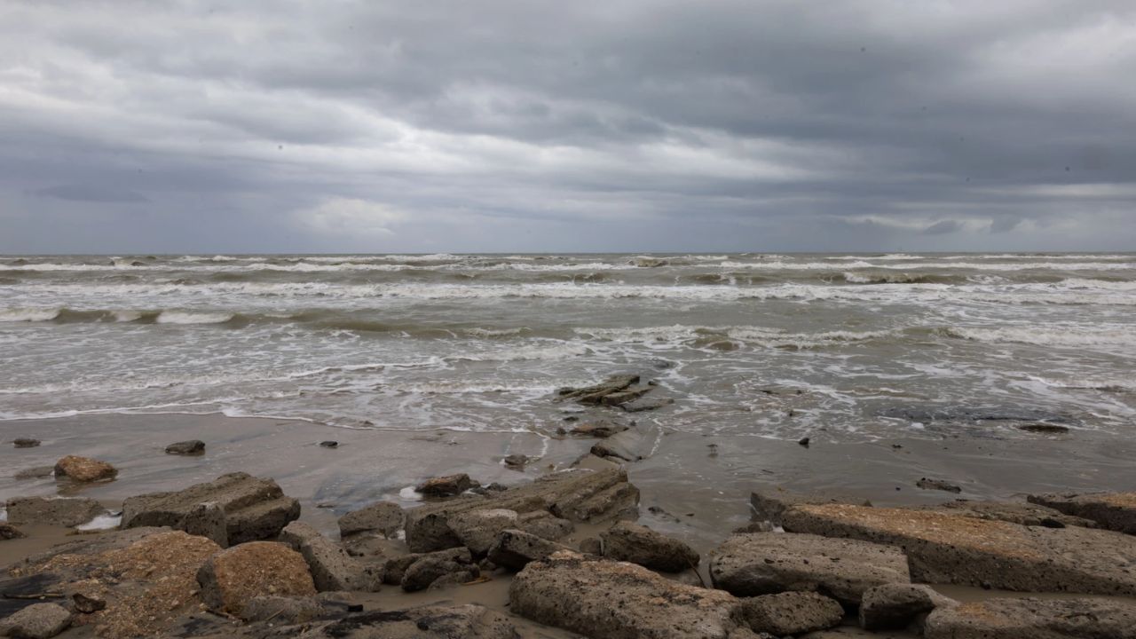
Houston, TX- Tropical Storm Bertha has formed in the Gulf of Mexico and is now tracking directly toward the Texas coast — and forecasters have narrowed its target zone to an area stretching from southwest Louisiana to the middle Texas coast, putting the Houston area squarely in the crosshairs.
As of Tuesday morning, the storm was located approximately 145 miles southeast of Mobile, Alabama, moving northwest at just 3 mph. That slow crawl is what concerns officials most — a sluggish storm can dump far more rain as it lingers over an area.
What changes Tuesday: Bertha is expected to turn west Tuesday afternoon or evening, then move near or along the northern Gulf Coast over the next several days before reemerging as a tropical depression in the western Gulf.
A tropical storm warning is currently in effect from the Florida-Alabama border to Louisiana. A storm surge watch has also been issued from the Alabama-Florida border to the mouth of the Mississippi River — a sign forecasters are taking the storm’s coastal threat seriously.
For the Houston area and upper Texas coast, the immediate danger is not Tuesday — but the situation changes fast heading into the weekend. On Friday, a Marginal Risk for isolated street flooding and ponding has been issued. From Thursday night through Saturday, sea swells and dangerous rip currents are expected along the upper Texas coast as tropical-force winds approach the shoreline.
Little change in the storm’s strength is expected Tuesday, with gradual weakening likely through mid-week. However, residents should not take comfort in that forecast — the storm’s path directly toward Southeast Texas leaves little room for error.
Emergency management officials are urging residents to review their hurricane preparedness plans now, not when the storm is on the doorstep. It is hurricane season. It only takes one storm to make it a catastrophic year.