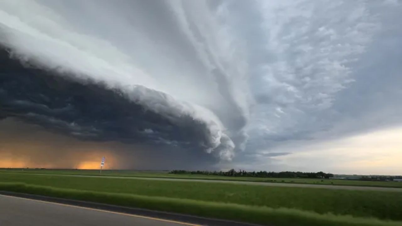
MINNEAPOLIS, Minnesota — A dangerous stretch of severe weather is taking shape across a wide corridor of the country today, and forecasters are urging residents to pay close attention as conditions deteriorate through the afternoon.
Two separate zones are under a Level 2 of 5 Slight Risk — one cutting through the Dakotas and northwestern Iowa, and another running from Chicago through Detroit toward Philadelphia and Washington D.C. A Level 1 Marginal Risk pulls Minneapolis, New York, and Boston into the broader threat area as well.
The Dakotas Could See the Most Dangerous Conditions
Extreme atmospheric instability across the Dakotas and northwestern Iowa is expected to fuel supercells capable of large hail and damaging winds.
The bigger worry is what happens as storms evolve. Individual cells could merge into a fast-moving cluster capable of gusts exceeding 75 mph — strong enough to knock out power, bring down trees, and turn loose objects into serious hazards with very little warning.
Chicago to D.C. Faces a Separate but Serious Threat
The afternoon brings a distinct risk for the Illinois-to-Pennsylvania corridor. Chicago, Detroit, and Philadelphia are all expected to see damaging winds, large hail, and a brief tornado risk as storms push east. Washington D.C. is also within range as the system approaches from the west.
What to Do Before Storms Arrive
Do not wait for conditions to worsen. Bring in outdoor furniture, charge your devices, and identify a shelter location in case a tornado warning is issued nearby. Storms can escalate quickly and with little notice.
Keep local weather alerts active throughout the day — and share this with someone you know in the affected areas.
Are you in one of these storm zones today? Tell us what it looks like in the comments below.