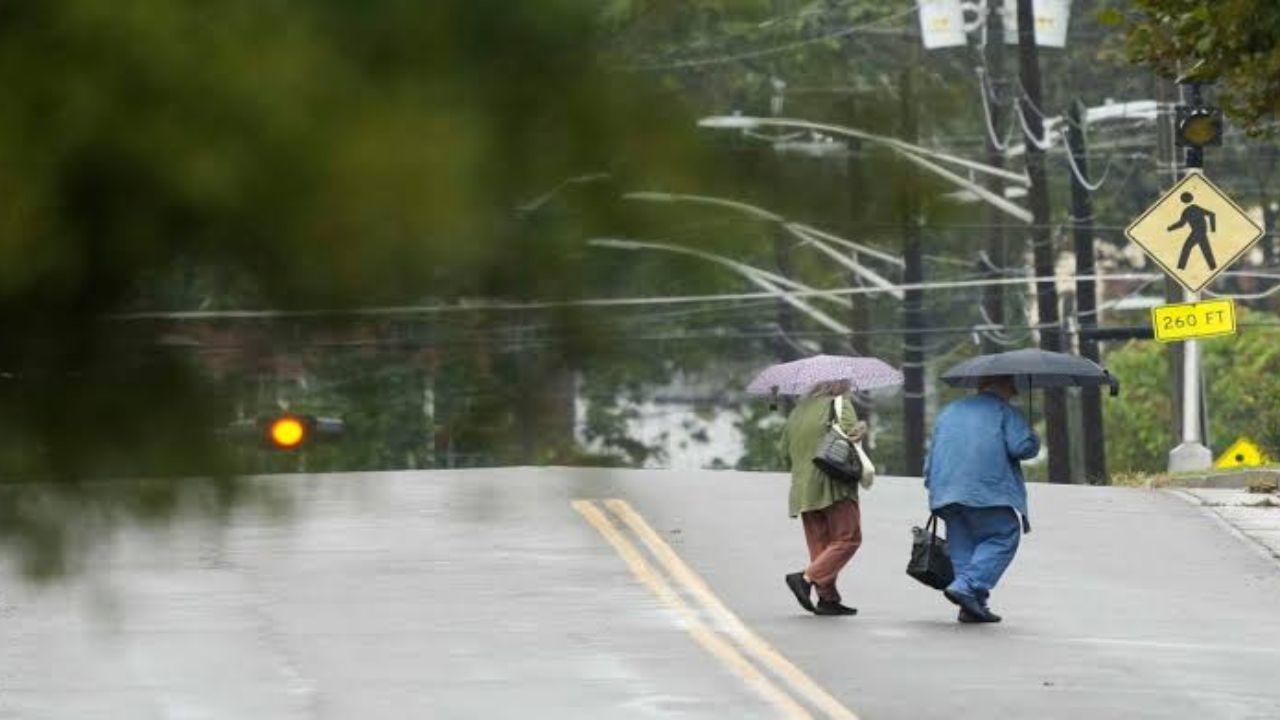
A line of severe storms is tracking southeast overnight, bringing the risk of damaging wind gusts and an isolated tornado to a corridor stretching from Columbus, Ohio through Charleston, West Virginia and down into Knoxville, Tennessee. The primary threat window runs through approximately 1 AM ET.
Areas at Risk Tonight
Forecasters have flagged a stretch of cities as the zone of greatest concern overnight:
- Columbus, Ohio
- Charleston, West Virginia
- Lexington, Kentucky
- Knoxville, Tennessee
- Chattanooga, Tennessee
Residents across these areas should remain weather-aware through the early morning hours.
What to Expect
The storm system is capable of producing wind gusts of 50 mph or greater and an isolated tornado as it continues organizing through 1 AM ET. The activity is being driven by a low pressure system currently positioned near Louisville, Kentucky, which is helping intensify and organize the line of storms as it tracks southeast.
Indiana and Illinois: Rain Continues Overnight
While the severe threat is decreasing across Indiana and Illinois, scattered showers and downpours will continue wrapping around the low pressure system through the overnight hours. Areas including Fort Wayne, Indianapolis, Springfield, and Peoria should expect continued rounds of rain even as the more serious threat shifts toward the Ohio Valley.
What You Should Do
- Stay indoors and away from windows through 1 AM ET
- Charge your phone in case of power outages
- Have a weather alert app or radio ready
- If a tornado warning is issued, move to the lowest level of your home immediately