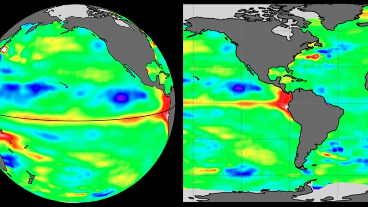
California residents may want to start preparing now. Scientists at the National Oceanic and Atmospheric Administration have issued a stark warning: there is an 81% chance that a very strong El Niño event will develop between October and December — one that could rank among the most powerful in recorded history, going back to 1950.
But what exactly is El Niño, and why should Californians be worried?
El Niño is a natural climate pattern that occurs when unusually warm water builds up across the central and eastern Pacific Ocean. That shift in ocean temperatures disrupts normal weather patterns across the globe — and California sits directly in its path.
During strong El Niño years, California typically sees heavy rainfall, severe flooding, dangerous mudslides, and powerful storms — particularly in Southern California. Roads wash out. Hillside communities face evacuation orders. Rivers overflow. The damage can be catastrophic and fast-moving.
The last major El Niño event, in 2015–2016, caused widespread destruction across the state. Forecasters are now saying this upcoming event could be just as severe — or worse.
Officials urge residents to check flood zone maps for their neighborhoods, clear debris from gutters and drains, and prepare emergency supply kits before the rainy season arrives. Those living near hillsides, rivers, or low-lying areas face the highest risk.
The window to prepare is still open — but it may not stay open for long. With October approaching and forecasters watching conditions closely, what happens in the Pacific Ocean over the next few months could determine how hard California gets hit.