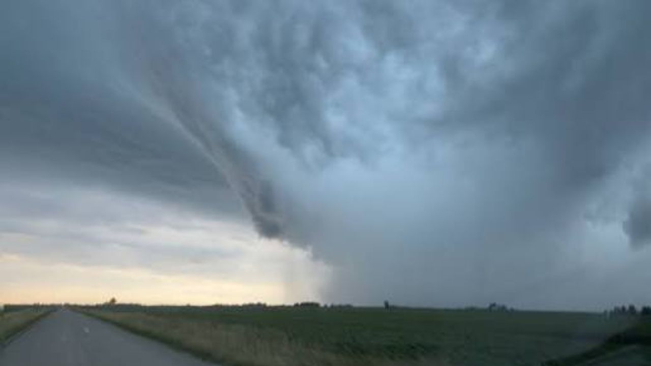
A sudden and unusual cold blast is set to sweep across the Midwest and Great Lakes region early Thursday, pushing morning temperatures as much as 16 degrees below seasonal norms, according to the National Weather Service. Residents from Chicago to Cleveland could wake up to conditions that feel more like early autumn than the peak of summer, with lows dipping into the 50s across several major cities.
Indiana and Michigan Bear the Brunt
Forecasters say the steepest temperature drops will hit northern Indiana and southern Michigan, where cities including Kokomo, Fort Wayne, Lansing, and Muskegon could see readings running 14 to 16 degrees colder than usual by early Thursday morning. Nearby Kalamazoo and Grand Rapids are also expected to feel the chill, with departures nearing 13 to 14 degrees below average as cooler air settles overnight.
Major Cities Feel the Sudden Drop
Chicago and Milwaukee are expected to see temperatures fall roughly 9 to 13 degrees below normal, while Detroit could see a nearly identical dip of around 13 degrees. Meanwhile, Cleveland, along with Akron, Canton, and Youngstown, may experience some of the harshest swings, with forecasts pointing to drops between 14 and 16 degrees below typical levels as the cold front moves into Ohio.
Cold Air Pushes Into the Ohio Valley
The chill won’t stop at the Great Lakes. Indianapolis, Dayton, Columbus, and Cincinnati are all bracing for mornings running 13 to 14 degrees colder than average. Farther south, Bloomington, Louisville, and Lexington are also expected to see similar drops as the cold air mass continues its southward push.
A Short-Lived Summer Surprise
From the Great Lakes down through the Ohio Valley, many residents will step outside Thursday morning to temperatures in the 50s — a jarring contrast to the usual late-July heat. Officials say the cool spell is expected to be brief, with warmer conditions forecast to return within days.