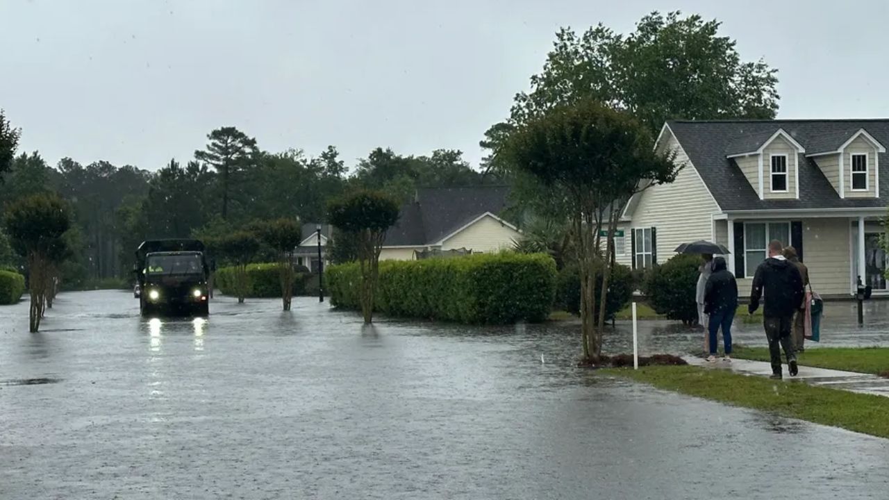
A dangerous storm system is set to slam the Mid-Atlantic and Carolinas this week, putting more than 40 million residents at risk as a slow-moving cold front collides with surging Gulf Coast moisture — and forecasters warn the worst may still be ahead.
Showers and thunderstorms are already sweeping across the region, but conditions are expected to deteriorate significantly as the week progresses. A surge of moisture pushing in from the Gulf Coast is amplifying the threat, setting the stage for a prolonged and potentially life-threatening weather event.
NOAA’s Storm Prediction Center has issued a Level 2 out of 5 severe storm risk across the area, with damaging winds identified as the primary hazard. But meteorologists say the far greater danger is what comes next — flash flooding.
The core concern lies in the cold front’s behavior near the Carolinas. Rather than pushing through quickly, the system is expected to stall — and as it does, it will pull in heavy moisture directly from Tropical Storm Bertha, now active in the Gulf. This combination could trigger repeated rounds of intense rainfall over the same areas in a short period of time, overwhelming drainage systems and rivers already saturated from earlier storms.
Eastern North Carolina is shaping up to be ground zero for the worst impacts. Raleigh and communities stretching east toward the Outer Banks face significant flood risk, as do coastal areas south toward Wilmington and north toward Virginia Beach, Virginia. Residents in these zones should prepare now — not when the rain begins.
Mountain communities across the Carolinas are not expected to see major impacts from this particular system.
Officials are urging residents in at-risk areas to avoid low-lying roads, have emergency supplies ready, and monitor local alerts closely. Flash flooding can develop with little warning and turn deadly within minutes.
Do not wait for the water to rise. Act now.