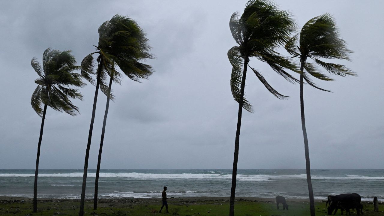
A strengthening El Niño is forcing forecasters to scale back expectations for the rest of the 2026 Atlantic hurricane season — but experts caution that a quieter season does not mean a safer one for the U.S. coastline.
Forecast Numbers Trending Down
AccuWeather’s latest outlook now projects 8 to 11 named storms, 3 to 4 hurricanes, and 1 to 2 major hurricanes for the remainder of the season. That’s a notable drop from the company’s March estimate of 11 to 16 named storms and its July update of 8 to 14.
Even with fewer storms expected, AccuWeather is still forecasting 3 to 5 direct impacts on the United States.
Why El Niño Matters
El Niño forms in the Pacific Ocean but has a ripple effect across the Atlantic basin, typically increasing wind shear — strong upper-level winds that make it harder for tropical systems to organize and grow. Forecasters say this year’s El Niño could rank among the strongest ever recorded, giving them more confidence in the reduced storm count.
AccuWeather’s lead hurricane expert, Alex DaSilva, attributed the downgraded outlook to the growing likelihood of a record-strength “Super El Niño.”
However, DaSilva stressed that weaker overall activity doesn’t remove the danger for the U.S. Storms that form close to shore could still intensify quickly, thanks to unusually warm coastal waters — leaving less time for residents to prepare.
Meteorologist Jeff Berardelli of WFLA-TV echoed that warning, telling Newsweek this El Niño event is “unprecedented” and that most forecasters may be underestimating just how much it will suppress storm development. He expects this season to end up among the slowest in years, even as peak season — late August through September — is still ahead.
States Facing Elevated Risk
Despite the overall slowdown, certain regions remain more vulnerable than usual to direct hits:
- Northern and eastern Gulf Coast
- The Carolinas
- Northeastern Caribbean (elevated risk zone outside the mainland U.S.)
Where the Season Stands So Far
As of August 19, only three named storms — Arthur, Bertha, and Cristobal — have formed this year, putting 2026 behind typical seasonal benchmarks. On average, the first Atlantic hurricane forms by August 11 and the fourth named storm by August 15.
The season’s peak typically arrives around September 10, meaning the most active stretch is still to come.
Forecasters point to past seasons as a reminder that low storm counts can still produce major disasters. In 1992, only seven named storms formed all year — yet one of them was Hurricane Andrew, a catastrophic Category 5 storm that devastated South Florida.
Berardelli noted that even in a shear-heavy season, brief windows exist when conditions ease enough for storms to spin up quickly, so coastal residents should stay prepared throughout the season.
Hawaii Still Recovering, Watching New System
While the Atlantic outlook cools, the Pacific has been active. Hawaii is still recovering from Hurricane Lala, which dumped more than 40 inches of rain in parts of the islands, damaged homes, roads and bridges, and cut power to residents. Two deaths have been linked to storm-related incidents, according to the Associated Press.
Now the National Hurricane Center is monitoring another system developing southeast of Hawaii that could strengthen into a tropical depression soon. Officials are urging residents to stay alert as cleanup from Lala continues.
Berardelli explained that El Niño’s Pacific-suppressing, Atlantic-enhancing pattern doesn’t apply symmetrically — instead, it energizes Pacific activity while working against Atlantic storm formation.
Bottom Line
Fewer storms are expected in the Atlantic this year, but forecasters are urging residents along the Gulf and Atlantic coasts not to let their guard down. With peak season still ahead and warm coastal waters capable of fueling rapid intensification, preparedness remains essential even in a below-average year.