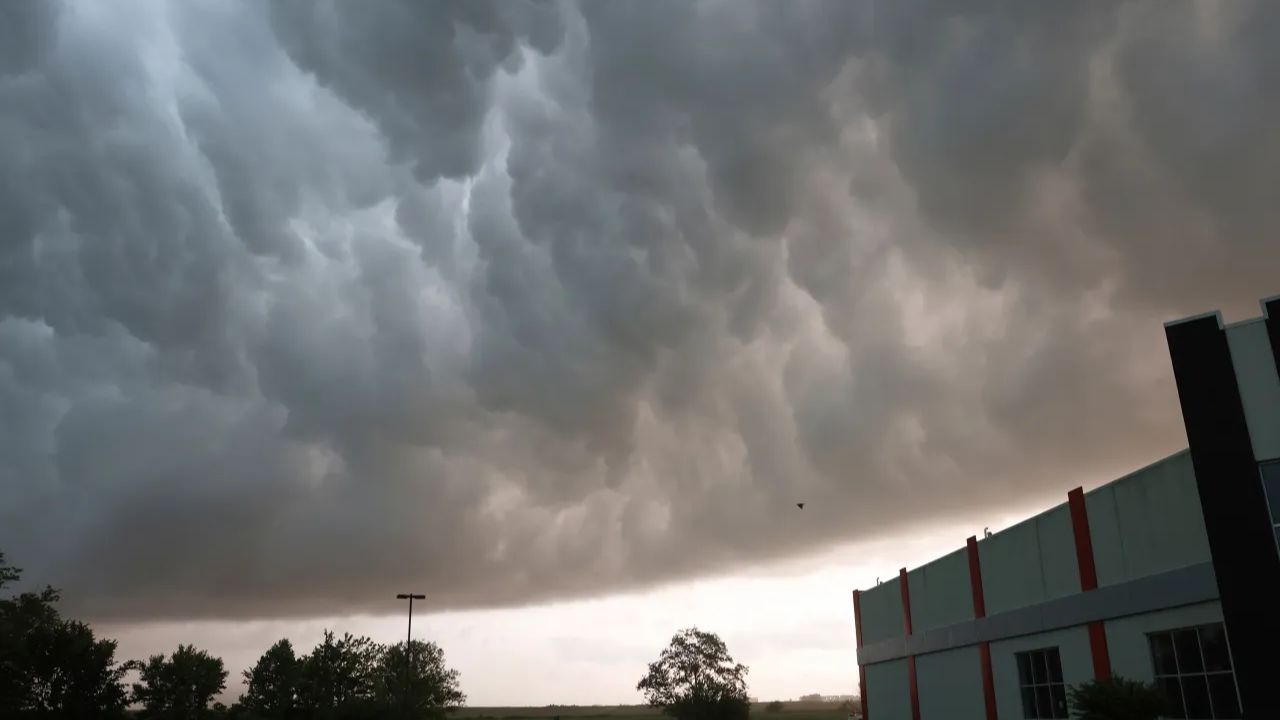
MOLINE, ILLINOIS — A dangerous pocket of storms is charging eastward out of Iowa this morning, and forecasters say the atmosphere ahead of it is primed for trouble. Nebraska, Iowa, and Illinois have all been placed under a Level 2 of 5 severe weather threat today, Wednesday, August 12, with damaging wind identified as the primary danger facing residents.
According to the National Weather Service’s Storm Prediction Center, the highest-risk zone on today’s map stretches in a wide band from Sioux Falls and Omaha, through Des Moines and the Quad Cities, across Chicago, and down toward Indianapolis, Cincinnati, and Louisville. A wider Level 1 low-risk area surrounds that corridor, touching Fargo, Denver, Kansas City, and Detroit.
For residents in the Quad Cities, officials say the most dangerous window will likely arrive around 10 AM, as the storm energy moving out of eastern Iowa reaches the area during the late-morning hours. Anyone with outdoor plans this morning is being urged to keep one eye on the sky.
The threat doesn’t stop there. Once the system pushes through the Quad Cities, it’s expected to track east into Illinois, with forecasters warning the danger will intensify again near Champaign around midday. That means a second wave of risk for communities directly in the storm’s path just a few hours later.
While damaging wind gusts remain the headline concern, officials caution that isolated hail and even a stray tornado can’t be ruled out as the system rolls through the risk zone, adding extra uncertainty to an already volatile setup.
The outlook remains valid through Wednesday, August 12, with conditions expected to evolve through the morning and into midday. Residents stretching from the Quad Cities to Champaign and Indianapolis are being advised to stay alert and monitor local weather updates as the system develops.