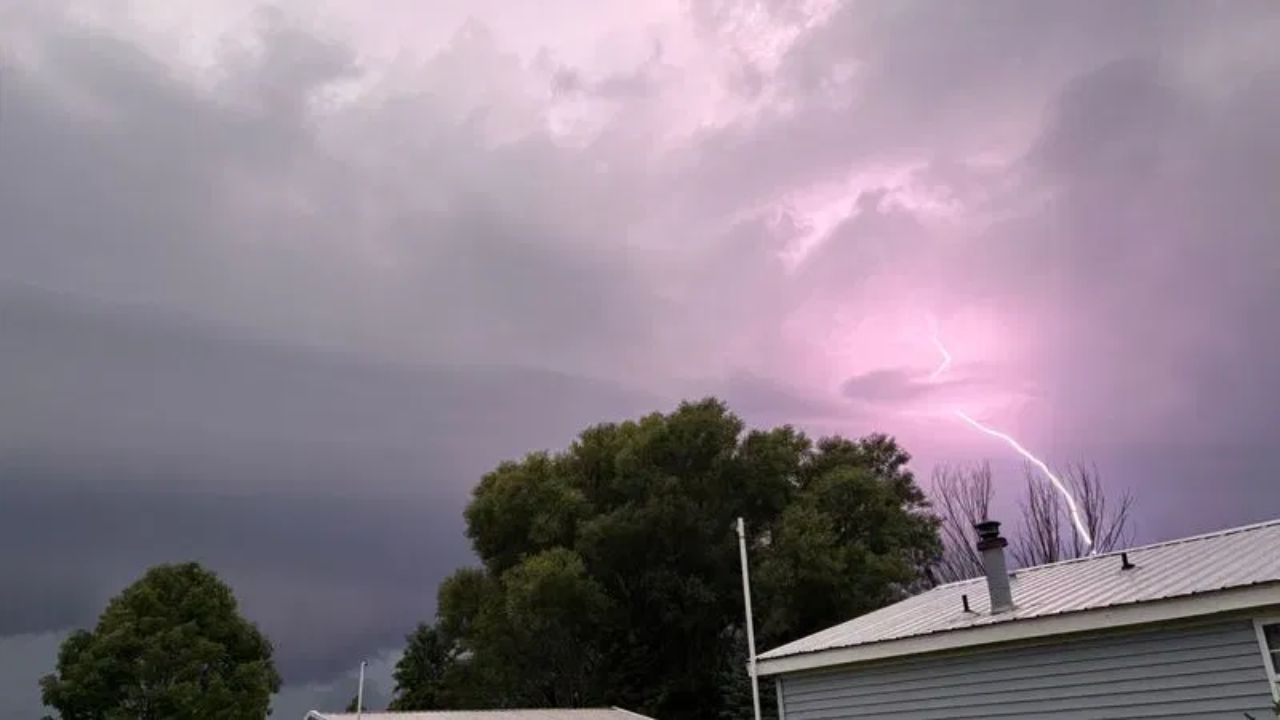
PEORIA, ILLINOIS — Millions of residents across Illinois, Iowa, and parts of Indiana are being told to stay alert as a dangerous line of thunderstorms pushes through the region this Wednesday morning, carrying winds strong enough to snap trees and knock out power.
A Severe Thunderstorm Watch is now active until 1 PM CDT, covering a wide stretch of the Midwest that includes Dubuque, Cedar Rapids, Davenport, Burlington, Quincy, Peoria, Bloomington, Urbana, Springfield, Decatur, Aurora, and Kankakee, with the system creeping closer to the outskirts of Chicago as the morning progresses.
Wind Is the Main Danger
According to the National Weather Service, the biggest threat isn’t rain — it’s wind. Gusts could reach as high as 75 mph in the strongest cells, a speed capable of downing tree limbs, damaging roofs, and creating hazardous driving conditions on highways and rural roads alike.
Hail and Lightning Add to the Risk
Alongside the wind threat, forecasters say some storms may also produce hail up to the size of a quarter, along with frequent lightning strikes. Combined, officials warn these conditions could turn dangerous quickly for anyone caught outdoors.
Four Cities Directly in the Path
Peoria, Davenport, Champaign, and Joliet have been singled out as the areas facing the greatest impact. Radar tracking shows a cluster of intense storm activity already forming near Davenport on the watch’s western edge, while a separate band of storms was spotted near Muncie, Indiana, just outside the official watch zone.
What Residents Should Do Until 1 PM
Officials are urging anyone in the affected corridor to avoid unnecessary travel during the late morning and early afternoon hours, secure loose outdoor items, and stay away from windows if storms intensify near their location. The watch remains active until early afternoon, and residents are advised to keep monitoring local alerts as the system moves east.