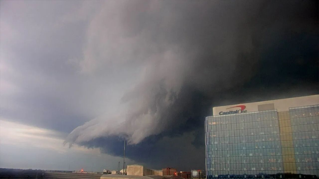
WASHINGTON — A sprawling band of rain packed with embedded thunderstorms rolled into the Washington, D.C., region Tuesday night, dropping moderate to heavy rainfall across the metro area starting around 8:10 p.m. While no severe thunderstorm warnings were active, forecasters flagged that several cells buried within the system carried a history of rotation, prompting close monitoring as the storm line pushed east.
Rotation Signs Tracked Near Winchester and Front Royal
The concern first surfaced as radar picked up intensified cores of heavy rain and lightning moving through Winchester and Front Royal. Meteorologists kept a close eye on these cells for signs of strengthening before the system advanced further into the D.C. metro corridor. Officials noted that although rotation had been detected within the storm structure, conditions had not escalated to warrant a formal warning at that point.
Heaviest Rainfall Targets the D.C.-Baltimore Corridor
As the system pushed forward, the most intense rain bands settled directly over Washington, Manassas, and Fredericksburg, before continuing on toward Baltimore and Annapolis. Officials described the rainfall as a much-needed soaking for the region rather than a destructive event, even as the embedded rotation kept forecasters on alert.
Storm Track Extends Into Eastern Maryland
The system didn’t stop at the capital region. Communities further east — including Chesapeake Beach, Waldorf, and Easton — remained directly in the storm’s path as it moved through the evening hours. Cambridge and Lexington Park were also expected to face heavy downpours overnight as the rain complex continued its eastward march.
No Warnings Issued, But Monitoring Continues
As of 8:10 p.m. Tuesday, no severe thunderstorm or tornado warnings had been issued for the region. Officials stressed that the primary threat remained heavy rainfall, not damaging winds or hail, though the storm’s rotational history meant conditions were being watched closely as it moved across the corridor overnight.