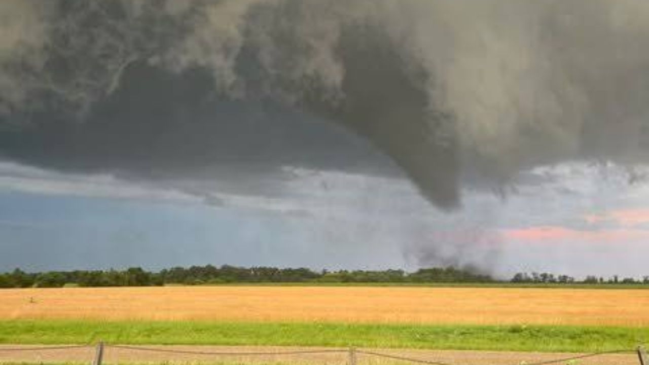
MONMOUTH, ILLINOIS — A dangerous cluster of severe thunderstorms tearing through western Illinois triggered a Tornado Warning for Monmouth on Monday afternoon, with forecasters cautioning that the system could spin up a tornado while also unleashing wind gusts as strong as 60 mph across the surrounding counties.
Warning Centers Directly Over Monmouth
According to the National Weather Service, radar imagery at approximately 12:30 p.m. Central Time showed the tornado-warned cell sitting almost directly on top of Monmouth, with the alert zone stretching northeast toward Aledo and Galesburg. Meteorologists noted unusually intense reflectivity readings inside the storm’s core, a signal often associated with strong rotation and a heightened potential for tornado formation.
Wider Storm Line Sweeps Across Western Illinois
The Monmouth cell is just one piece of a much larger severe weather system moving through the region. Additional intense storm activity was tracked from Wapello and Oquawka through Aledo, pushing toward the Illinois-Iowa border near Muscatine and Davenport, raising concern for residents across multiple counties rather than a single town.
Damaging Winds Add a Second Threat
Beyond the tornado risk, officials warned the broader storm cluster carries the potential for widespread damaging wind gusts up to 60 mph as it advances eastward, meaning even areas outside the tornado warning polygon could see significant wind damage.
Residents Notified Through Targeted Mobile Alerts
Many Monmouth residents received direct, location-based warnings on their phones as the storm approached, allowing for faster, more precise notification than standard county-wide broadcasts typically provide.
Officials Urge Immediate Shelter
With the tornado warning active and destructive winds expected, authorities are urging everyone in and around Monmouth to take shelter immediately in a sturdy, interior structure away from windows, and to remain there until the warning is lifted or canceled by officials.