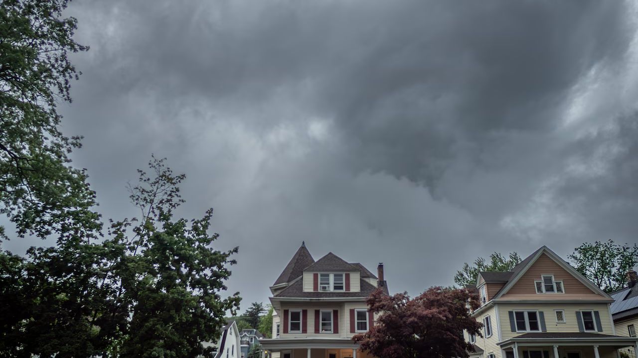
New Jersey- Three tornadoes are believed to have struck New Jersey on Tuesday, leaving a trail of downed trees, snapped utility wires, and shaken communities from the northern hills to the southern shoreline — and the danger is not over yet.
The first tornado was reported at 2:10 p.m. near the border of Morris and Sussex counties, close to Stanhope near Interstate 80 and Route 206. A trained weather spotter witnessed the twister on the ground. Trees and utility wires were reported down in the area shortly after.
Minutes later, social media video captured what appeared to be a funnel cloud touching down at a golf center in Parsippany, roughly one mile north of the Troy Hills area, around 2:45 p.m. Meteorologists are reviewing that footage as part of their investigation.
A third event unfolded along the coastline. At 6:13 p.m., a waterspout over Delaware Bay moved onshore at Cape May Point, where it became a full tornado. Officials say it will likely be classified as both — a waterspout and a tornado. No major damage was immediately reported at Cape May Point.
All three storms remain unconfirmed pending on-site damage surveys expected Wednesday. Tornado warnings were issued for Bergen, Cape May, Essex, Morris, Passaic, and Somerset counties during the storms.
This marks the second consecutive week New Jersey has faced tornado threats. A separate round of severe storms just three days ago knocked out power for thousands of residents and triggered flash flooding, highway closures, and water rescues — though no tornadoes touched down that day.
Residents are urged to stay alert. A tornado watch remains active for all 21 counties through 9 p.m. Tuesday, and a flood watch is in effect across most of the state through 2 a.m. Wednesday. Stay indoors, avoid flooded roads, and monitor emergency alerts.