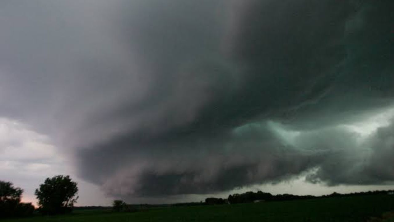
A dangerous overnight wind threat is building across the Midwest, with forecasters warning that a line of storms could unleash gusts topping 80 mph — strong enough to snap trees and trigger widespread power outages across Iowa, Illinois and Missouri.
According to the National Weather Service’s Storm Prediction Center, a hatched zone has been marked inside a broader 15 percent damaging-wind probability area, signaling the potential for a derecho-type event — a fast-moving band of storms capable of producing destructive, straight-line winds over a long distance.
Meteorologists say the first storms are expected to intensify near Ames and Des Moines around 6 p.m., before the threat pushes east toward Aledo, Illinois, by roughly 8 p.m. as the system tracks across the region through the evening.
The most dangerous corridor, where gusts could reach 75 mph or higher, stretches from near Omaha through Des Moines, the Quad Cities and into Springfield, Illinois. Officials say this is the zone where storms are most likely to organize into a long-lived, destructive wind event.
A wider 15 percent wind-risk zone spans from Green Bay and Madison through Chicago and Fort Wayne, while a secondary 5 percent zone extends as far as Detroit, Cleveland and Kansas City — underscoring how far the threat could reach before the night is over.
Emergency officials are urging residents across the danger zone to secure loose outdoor furniture and equipment, charge phones and other essential devices in case of extended outages, and keep a reliable way to receive weather alerts through the night.
Authorities say conditions will continue to be monitored closely as the system develops, with the greatest risk for severe, damaging winds expected between early evening and the overnight hours.