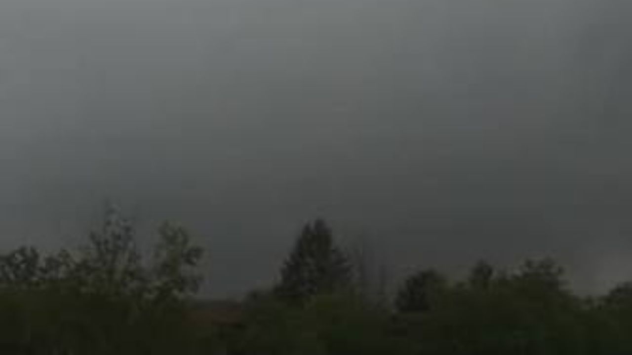
A tornado was reported on the ground in Sussex County Tuesday afternoon, marking the second tornado watch issued across all of New Jersey in less than four days — and forecasters say the worst may still be hours away.
A trained weather spotter confirmed seeing a tornado near Stanhope, close to the intersection of Interstate 80 and Route 206. Trees and utility wires were reported down in the area. The National Weather Service has not yet officially confirmed the tornado, pending a ground inspection of the damage.
The tornado watch, issued at approximately 2:05 p.m., covers all 21 New Jersey counties along with the New York City and Philadelphia metro areas. It remains in effect until 9 p.m. Tuesday.
Earlier in the afternoon, tornado warnings — a more urgent alert — were issued for Bergen, Essex, Morris, Passaic, and Somerset counties after radar detected dangerous rotating clouds.
Forecasters warn that several thunderstorms developing through the evening could intensify into supercells — powerful storm systems capable of producing strong rotating winds, large hail, flash flooding, and damaging wind gusts. Residents are urged to stay indoors and away from windows.
NJ Transit announced the suspension of River Line service starting at 6:20 p.m. as a precautionary measure due to the ongoing weather threat.
This comes just days after a separate tornado watch on Saturday left thousands without power, triggered highway closures, forced water rescues, and produced two waterspouts observed off the shores of Monmouth and Ocean counties.
Residents across New Jersey should monitor conditions closely throughout Tuesday evening. If a tornado warning is issued for your area, seek shelter immediately in an interior room on the lowest floor of a sturdy building.