New Jersey- New Jersey is being hit by a rare and dangerous combination of severe weather Thursday evening — flash flooding, violent thunderstorms, 84 mph wind gusts, quarter-sized hail, and thick wildfire smoke all arriving within hours of each other across parts of the state.
A flash flood warning is in effect for the southeastern region of Ocean County, where 1 to 2 inches of rain fell in a short period — and another 1 to 2 inches could still come down. The warning runs through 8:45 p.m. Thursday.
Areas at risk include Barnegat, Beach Haven, Brookville, Harvey Cedars, Manahawkin, Ocean Acres, Surf City, and Waretown. Flash flooding could also impact the Garden State Parkway between mile markers 60 and 74.
Multiple severe thunderstorm warnings were issued throughout the afternoon for Ocean and Burlington counties. Forecasters warned of wind gusts up to 60 mph and hail — but actual conditions turned out even worse. A gust of 84 mph was recorded in Surf City around 6:50 p.m., and quarter-sized hail was confirmed in Stafford and Manahawkin.
Roads across the region are already shutting down. A tree fell on Route 72 and closed it in both directions near Ivy Road. In Long Beach Township, Beach Boulevard was shut from 92nd Street to 31st Street in Brant Beach due to flooding and debris. Stafford Township Police urged all drivers to use extreme caution, particularly through the Ocean Acres section of Manahawkin.
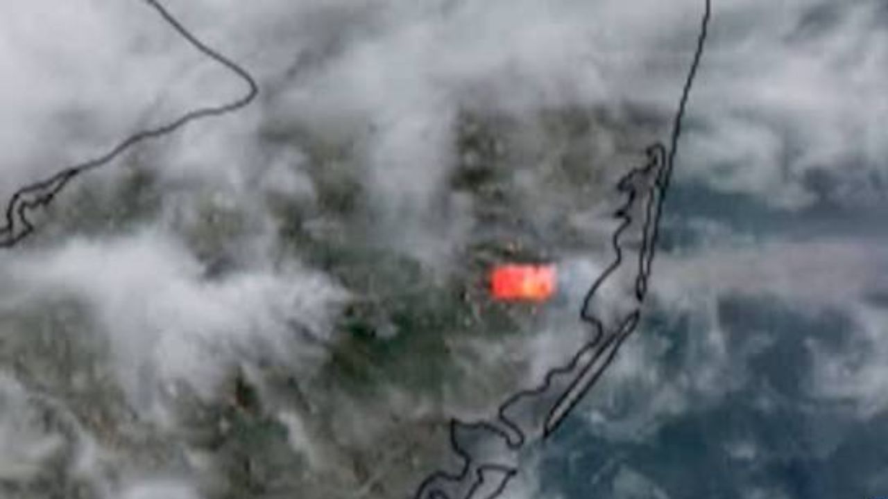
As if the storms weren’t enough, New Jersey is also being blanketed by wildfire smoke drifting south from Ontario, Canada. The smoke is settling near the ground, cutting visibility for drivers and pilots, and posing serious health risks for anyone spending time outdoors Thursday evening.
Residents in affected areas are urged to stay indoors, avoid flooded roads, and monitor local emergency alerts for updates as conditions continue to change.