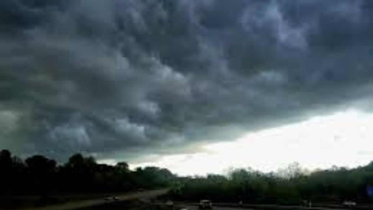
West Virginia is preparing for a stretch of dangerous weather as forecasters warn that damaging storms will sweep through the state starting Monday night and lasting into Tuesday evening. Officials say the threat could bring strong winds, heavy rainfall, and a real risk of flash flooding in several communities.
The National Weather Service says isolated storms may begin forming Monday afternoon, but the situation is expected to intensify significantly overnight as a larger storm system pushes into the region. A second wave of storms is likely to develop Tuesday afternoon as a cold front moves through, keeping residents on alert for nearly 24 hours straight.
Much of the state falls under a Level 1 Marginal Risk for severe weather, though parts of western and northern West Virginia have been placed under a higher Level 2 Slight Risk on Monday. That risk zone is expected to shift toward southern and eastern parts of the state by Tuesday.
Officials say the biggest dangers will be damaging wind gusts and intense downpours. Because the ground is already saturated from recent rain, authorities are warning that even moderate rainfall could quickly trigger flash flooding, particularly in low-lying areas, city streets, and near creeks and small streams.
Major communities including Charleston, Huntington, Parkersburg, Beckley, Elkins, and Clarksburg are being urged to stay alert as the storm system approaches. Residents are advised to keep multiple ways of receiving emergency alerts, secure any loose outdoor furniture or equipment, and avoid driving through flooded roads if conditions worsen.
Forecasters note that the exact timing and intensity of the storms could still shift, and additional weather alerts may be issued as the system draws closer. Officials are asking residents across the region to stay updated and take early precautions, especially overnight when visibility and response times are typically reduced.