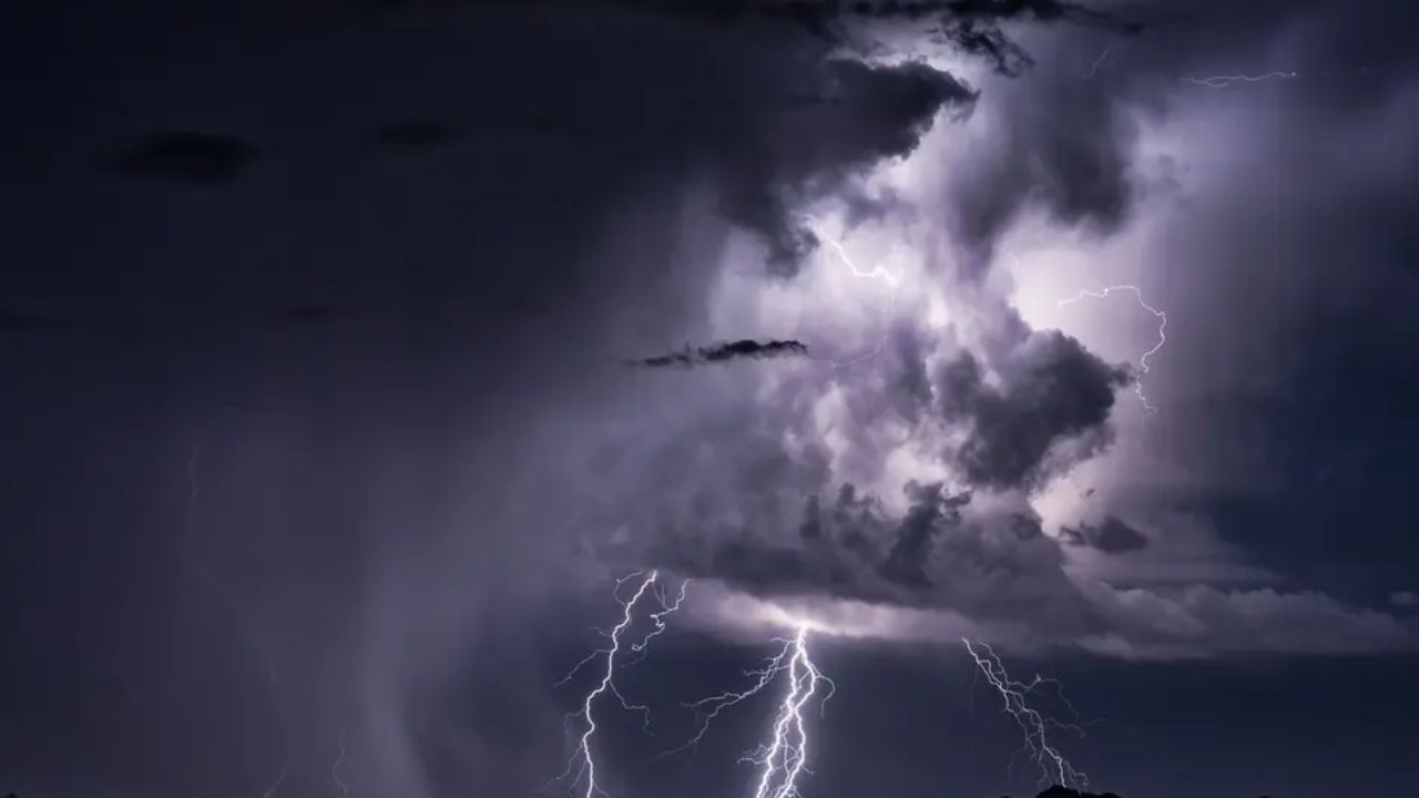
Virginia is bracing for one of its most dangerous weather days of the season. A powerful line of severe thunderstorms is expected to sweep across the Commonwealth Tuesday afternoon, bringing with it destructive wind gusts up to 60 mph, the threat of isolated tornadoes, large hail, and dangerous flash flooding — and forecasters say this is not a storm system to ignore.
The storms are expected to develop and become widespread between noon and 10 p.m. Tuesday as a fast-moving storm line tracks east-northeast. Confidence among forecasters is rated moderate to high — both in storm development and in the severity of conditions once those storms fire up.
Straight-line wind gusts of 50 to 60 mph or higher are the primary concern. Winds at that speed are powerful enough to bring down mature trees, snap power lines, and cause widespread property damage. Officials warn that isolated tornadoes and pockets of large hail also cannot be ruled out as the system moves through.
- Level 3 of 5 — Enhanced risk- Northern Virginia
Greatest concentration of severe storms expected
- Level 2 of 5 — Slight risk- Central & Eastern VA
Richmond, Williamsburg, Hampton Roads, Northern Neck
- Level 1 of 5 — Marginal risk- Far Southeast VA
Southeastern Virginia and northeast North Carolina
Flash flooding is also a serious concern for areas where multiple storm cells track over the same location in a short period of time. Low-lying roads and drainage areas could become impassable quickly, and officials are urging residents never to drive through flooded roadways — even if the water appears shallow.
Additional watches and warnings are expected to be issued as conditions develop throughout the day. Residents are urged to have multiple ways to receive weather alerts — including weather radio, mobile apps, and wireless emergency alerts on their phones — and to stay ready to move indoors quickly as storms approach. Anyone with outdoor plans scheduled for Tuesday afternoon should reconsider or have an immediate indoor backup plan in place.
What you should do now
- Secure all outdoor furniture, decorations, and loose objects before noon
- Never drive through flooded roads — turn around, don’t drown
- Have multiple ways to receive weather alerts active on your device
- Stay indoors and away from windows when storms are overhead
- Monitor updates from the National Weather Service and local emergency management
Continue checking back for updates as this dangerous weather situation develops throughout Tuesday.