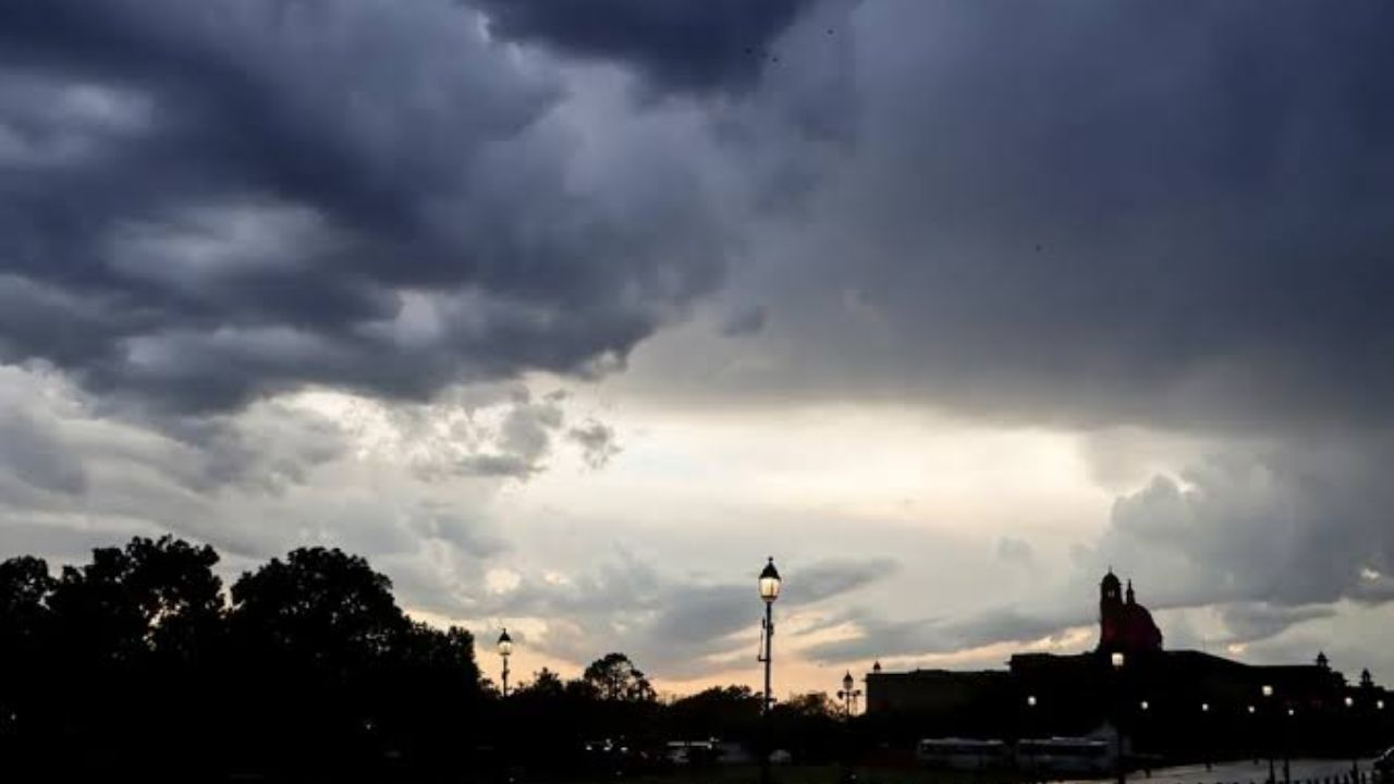
Minneapolis, MN – A cold front is sweeping through Minnesota Tuesday, ending days of intense summer heat and replacing it with cooler temperatures, gusty northwest winds, and a new weather concern residents should not ignore.
The National Weather Service has confirmed that heat headlines will expire Monday evening as the front pushes through the state. Temperatures across the Twin Cities are expected to drop into the upper 70s Tuesday and Wednesday — a sharp contrast to the sweltering conditions that gripped the region over the past several days. Overnight lows will dip into the 50s, offering the kind of sleeping weather the metro hasn’t seen in nearly a week.
But forecasters are warning residents not to let the cooler air create a false sense of security.
Northwest winds are expected to gust between 25 and 30 mph at times Tuesday — and with no significant rainfall in the forecast through Friday, the combination of dry ground and strong winds is raising elevated fire weather concerns across parts of the region. Outdoor burning and yard work involving any open flame should be approached with extreme caution.
Communities across the metro — including Minneapolis, St. Paul, Bloomington, Eden Prairie, and Maple Grove — can expect mostly sunny skies throughout the week. Temperatures will begin climbing again Thursday and Friday, reaching the lower to middle 80s, though humidity levels are forecast to stay significantly lower than they were over the weekend.
Residents are encouraged to take advantage of the break in heat while remaining mindful of fire conditions.
Five-Day Forecast — Minneapolis–St. Paul
- Tonight: Partly cloudy. Low 65–70°
- Tuesday: Sunny and breezy. High 75–80°
- Wednesday: Mostly sunny. High 75–80°
- Thursday: Sunny and warmer. High 80–85°
- Friday: Mostly sunny. High 80–85°
Stay weather-aware and check local alerts before any outdoor activity this week.