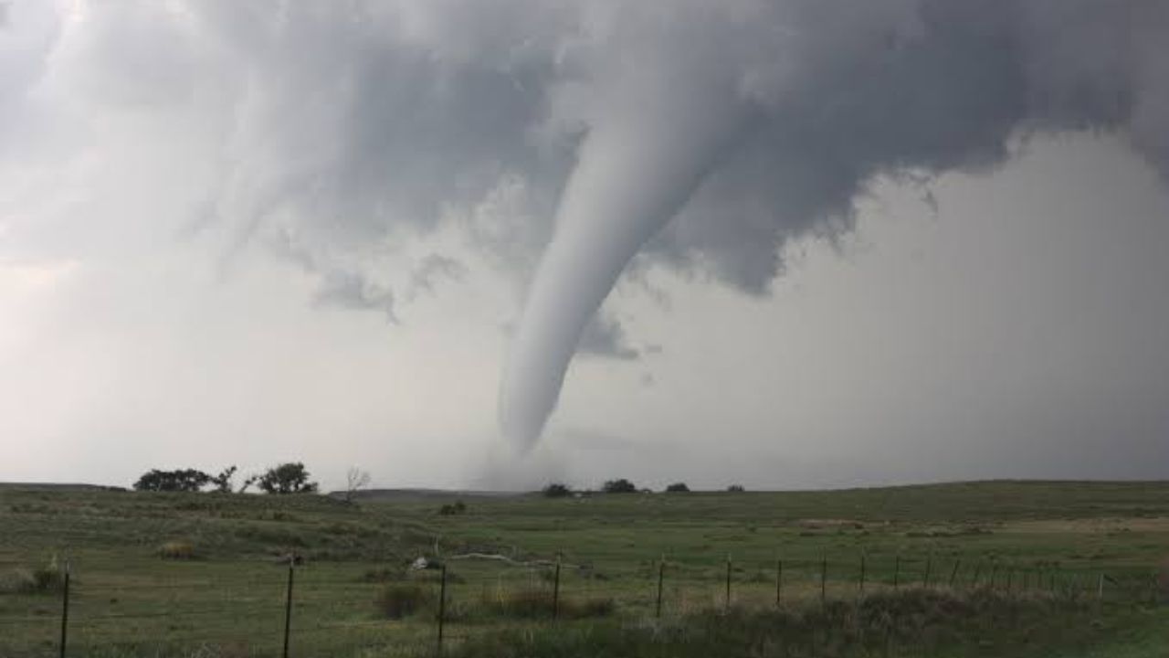
INDIANAPOLIS, Indiana — A line of severe storms is expected to push through a wide stretch of the Midwest and mid-Atlantic on Tuesday, and forecasters say tornadoes cannot be ruled out from Chicago all the way to Pittsburgh.
The concern centers on a stationary front draped across the region, where low-level wind shear and atmospheric spin are lining up in a way that could support rotating supercells for much of the day.
A Long Corridor, Many Communities in the Window
The 2% tornado probability zone runs in a long, narrow band from near Chicago and Joliet southeast through Lafayette, Indianapolis, Columbus, Cincinnati, Lexington, and into Charleston, West Virginia.
That covers a wide swath of communities — from northern Illinois through central Indiana and Ohio and deep into Kentucky and West Virginia.
Cities just outside the highlighted zone, including Detroit, Cleveland, and St. Louis, sit close to the corridor and should still monitor conditions closely.
How the Storm Threat Could Shift Through the Day
The tornado risk is expected to be most pronounced early in the event, when individual supercells are still discrete and drawing on the full energy of the unstable environment.
As the day progresses, those cells are forecast to merge into a larger, wind-driven storm cluster. At that point, damaging straight-line winds — not tornadoes — become the primary hazard.
This kind of evolution is common along a stationary boundary with strong wind shear, but it means the danger does not simply pass once early storms move through. The threat changes shape.
What Residents Should Do Before Tuesday
Anyone living along or near this corridor should have a reliable way to receive severe weather warnings before storms arrive.
That means a weather app with push alerts turned on, or a NOAA weather radio if you live in an area where cell service is unreliable during storms.
Do not wait for sirens. By the time a tornado warning is issued, conditions can change within minutes.
Have a plan for where you will go if a warning is issued for your area — an interior room on the lowest floor, away from windows.
What is the severe weather setup like where you live? Share what you are seeing in the comments.