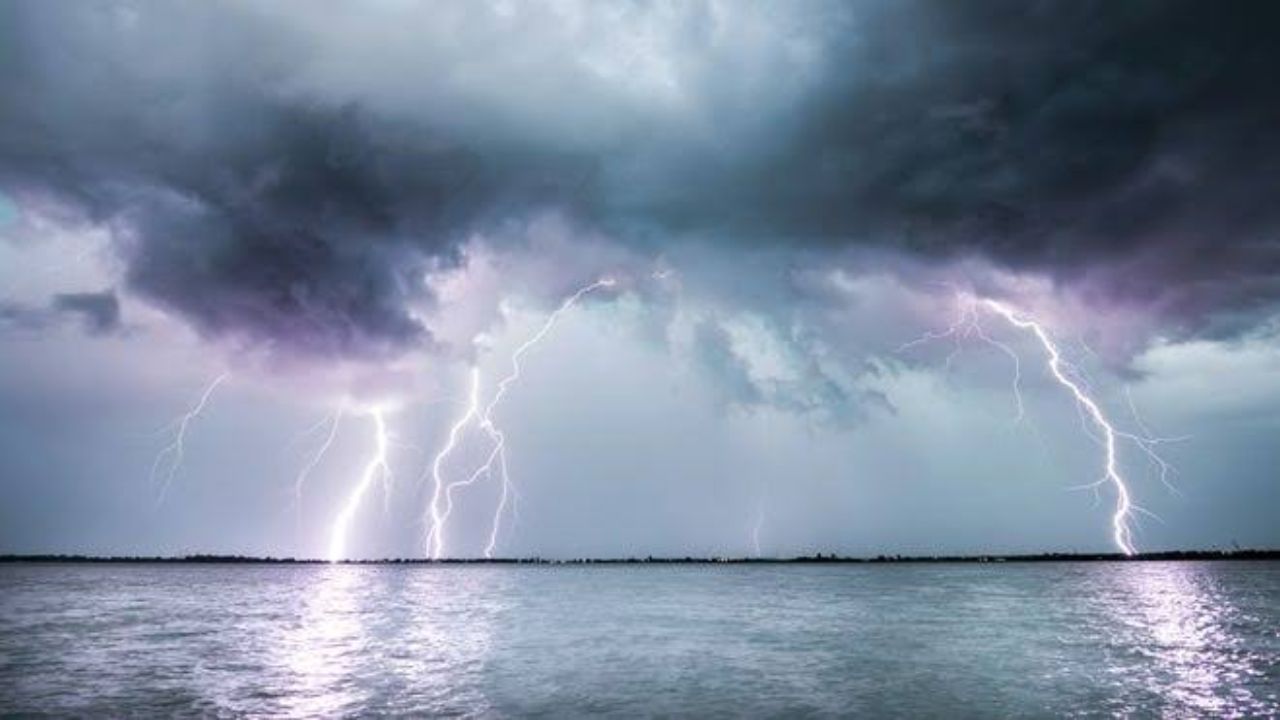
Two completely different parts of the United States are bracing for the same kind of trouble this Wednesday, as forecasters track a pair of separate weather systems capable of producing damaging winds and large hail — one over the Northern Plains, and another nearly a thousand miles away along the Florida-Georgia border.
According to the National Weather Service, a cold front pushing into Montana and the Dakotas is expected to spark scattered storms that could strengthen as the day goes on. These elevated storms, which typically form ahead of the front rather than right along it, are forecast to gradually organize into a more defined line by early evening. That process, forecasters say, tends to increase the chances of stronger wind gusts and hail as individual storm cells merge together.
Meanwhile, an entirely separate threat is brewing near the Florida-Georgia state line. There, the setup looks more classic for late-July weather in the Deep South — intense daytime heat combined with heavy moisture in the air, both feeding off a slow-moving cold front sinking down from the north. As temperatures peak in the afternoon, that energy is expected to erupt into fast-developing storms, with damaging wind gusts identified as the main concern.
Both regions have been placed under a Slight risk category, meaning scattered severe storms are possible but not expected to be widespread. Still, officials are urging residents in both zones to stay weather-aware through the afternoon and evening hours, particularly as storms tend to develop quickly in these setups.
Beyond these two hot spots, forecasters note that a much broader stretch of the country — from the Rockies through the Midwest and into the Northeast and Southeast — could also see general thunderstorm activity Wednesday. While most of that activity isn’t expected to turn severe, the sheer size of the area under watch highlights just how active the atmosphere is shaping up to be heading into midweek.