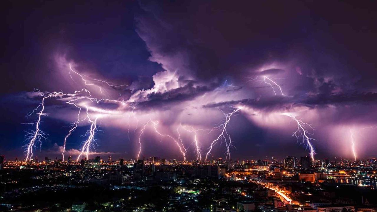
WASHINGTON — Millions of Americans across the central and eastern United States are facing a dangerous weekend of severe thunderstorms, flash flooding and extreme heat, as forecasters warn of life-threatening weather stretching from the Plains to the Mid-Atlantic and Southeast.
The powerful weather pattern is expected to bring repeated rounds of heavy rain, damaging thunderstorms and dangerous flooding to several states, while a separate heat wave intensifies across the northern Plains and western United States. Weather officials are urging residents to closely monitor forecasts as conditions could change rapidly through the weekend.
Severe Thunderstorms and Flash Flooding Threat Continues
A slow-moving cold front is expected to drift southward from the northeastern United States into the central Plains, creating an environment favorable for widespread thunderstorms throughout the weekend.
Forecasters say the system will interact with an unusually moist air mass, producing scattered to numerous thunderstorms during the afternoon and evening hours. Some of these storms could become severe, bringing damaging wind gusts, large hail and torrential rainfall capable of triggering flash flooding.
The threat extends from the central High Plains through portions of the Ohio and Tennessee valleys before reaching parts of the Mid-Atlantic.
Missouri Faces Elevated Flood Risk After Heavy Rain
Missouri remains one of the areas of greatest concern after portions of southeastern Missouri received between 5 and more than 10 inches of rain Thursday night.
With soils already saturated and waterways running high, additional heavy rainfall through Saturday could quickly lead to dangerous flash flooding. Emergency officials warn that even moderate rainfall could produce significant flooding in low-lying and flood-prone communities.
The greatest concern remains across southeastern Missouri, where repeated thunderstorms may produce considerable flood impacts if heavy rain continues over already vulnerable areas.
Storm Threat Expands South on Sunday
Forecasters expect the severe weather threat to shift farther south on Sunday as the cold front continues its slow movement.
Areas from Oklahoma through the Ohio Valley, southeastern Missouri, and into portions of the southern Appalachian Mountains could experience additional rounds of severe thunderstorms capable of producing damaging winds, heavy rainfall and localized flooding.
Residents across these regions are encouraged to remain alert for rapidly changing weather conditions and be prepared for possible severe weather warnings throughout the day.
Dangerous Heat Continues Across the Southeast
While thunderstorms threaten parts of the eastern United States, dangerous heat and humidity will continue affecting much of the Southeast.
Heat index values between 105 and locally above 110 degrees are expected across eastern portions of the Carolinas and into Florida through Saturday, creating hazardous conditions for anyone spending extended periods outdoors.
Although increased cloud cover and rainfall may provide some relief across the Carolinas on Sunday, above-average temperatures are expected to persist across much of Florida.
Health officials recommend staying hydrated, limiting strenuous outdoor activities during the hottest part of the day and checking on elderly relatives, children and others who may be more vulnerable to heat-related illnesses.
Triple-Digit Heat Builds Across the Northern Plains and West
A separate and potentially historic heat wave is forecast to develop across the Intermountain West and northern Plains through the weekend.
Many communities are expected to experience afternoon temperatures well above 100 degrees, with some locations potentially reaching 110 degrees or higher.
The hottest conditions are forecast for Sunday across central and eastern Montana into North Dakota, where temperatures may run 15 to 25 degrees above normal for mid-July. Forecasters say several locations could challenge or break daily high-temperature records.
The prolonged heat is expected to increase the risk of heat exhaustion and heat stroke, particularly for people without access to air conditioning or those working outdoors.
Officials Urge Residents to Prepare
Emergency management officials are encouraging residents across affected regions to remain weather aware throughout the weekend.
People living in flood-prone areas should be prepared to move to higher ground if flash flood warnings are issued, while motorists are reminded never to drive through flooded roadways. Residents in areas under severe thunderstorm watches should have multiple ways to receive weather alerts and be ready to seek shelter if dangerous storms develop.
In regions experiencing extreme heat, officials advise drinking plenty of water, taking frequent breaks in shaded or air-conditioned areas and avoiding unnecessary outdoor activity during peak afternoon temperatures.
Forecasters say the combination of severe thunderstorms, flash flooding and dangerous heat makes this one of the most significant multi-hazard weather events affecting the United States this weekend. Weather conditions are expected to remain active through Sunday, and additional watches and warnings may be issued as the system evolves.
What are your thoughts on this widespread weekend weather threat? How do you prepare for severe storms, flash flooding or extreme heat in your area? Share your thoughts respectfully in the comments below.