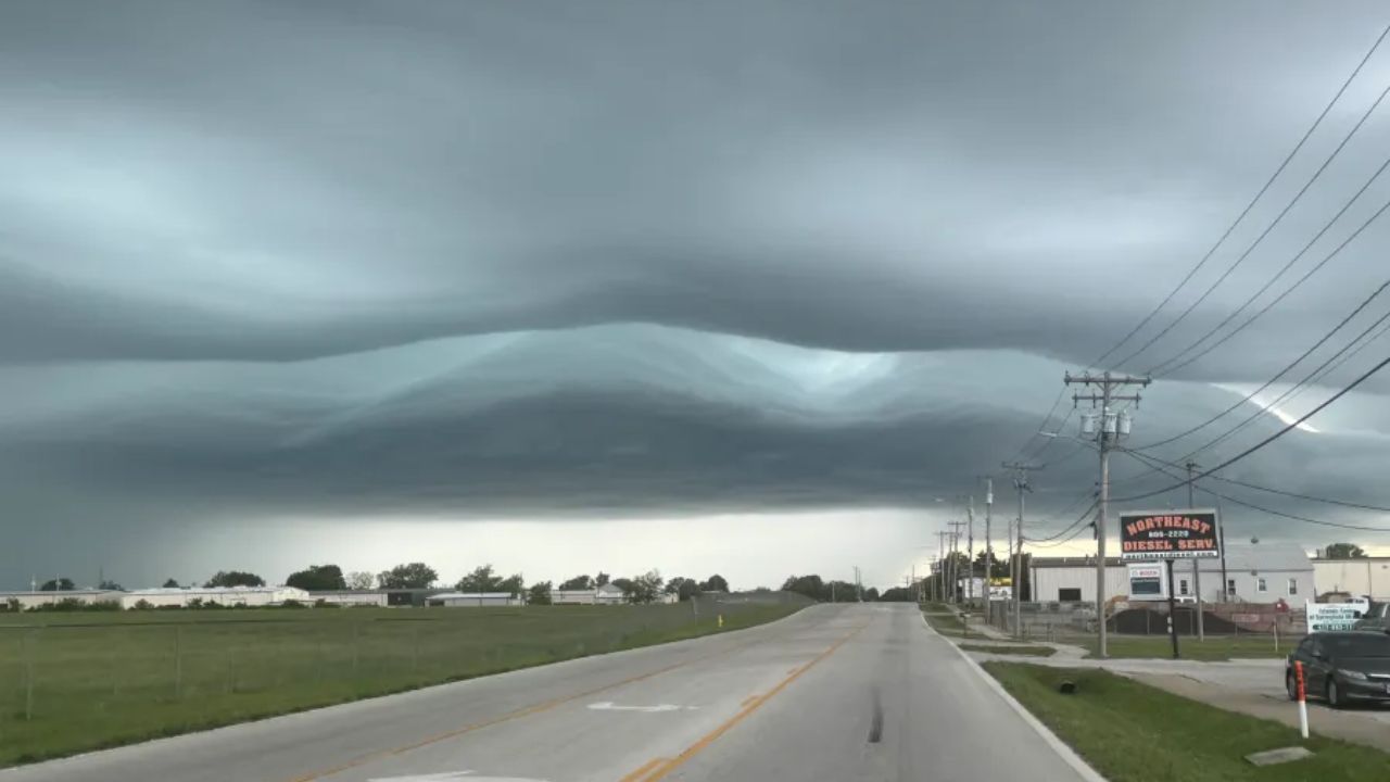
ST. LOUIS, Missouri — Storms are on the way Wednesday, and forecasters are warning they could pack a punch before the day is done.
An upper-level disturbance is set to trigger afternoon storm development across a corridor stretching from Missouri into central Illinois on August 5. St. Louis, Springfield, Missouri, Peoria, and Quincy all fall under a Marginal Risk — Level 1 out of 5 — for severe weather.
Large Hail Comes First
Forecasters say a combination of instability and wind shear will fuel isolated storm cells during the afternoon hours.
These early storms are the hail threat. As they develop, localized bursts of large hail are possible before any broader storm organization takes shape.
The Marginal Risk corridor runs in a narrow band from near Cedar Rapids and Davenport, Iowa southeast through Peoria, Quincy, Springfield Illinois, Columbia, Jefferson City, and down into Springfield, Missouri.
Wind Becomes the Bigger Danger by Evening
As the afternoon rolls into evening, those isolated cells are expected to cluster together — and that is when damaging wind gusts become the primary concern.
This shift from scattered hail producers to organized wind-driven clusters is a common pattern when an upper-level disturbance taps into an unstable airmass. It means the threat changes as the hours pass, and residents should not let an early quiet afternoon lower their guard.
Communities including St. Louis, Columbia, and Peoria should be prepared for both threats.
Stay Weather-Aware All Day
Areas farther east — Chicago, Indianapolis, and Louisville — sit outside the Marginal Risk zone but are still under a general thunderstorm designation for the day.
If you are in the highlighted corridor, keep weather alerts on your phone and have a plan before storms arrive Wednesday afternoon.
Are you in the storm zone? Let us know in the comments how conditions look in your area.