PHILADELPHIA, Pennsylvania — Saturday morning will feel deceptively quiet. But do not let the calm fool you.
As the day heats up, conditions will become dangerous.
The Storm Threat Is Real — And It Builds Fast
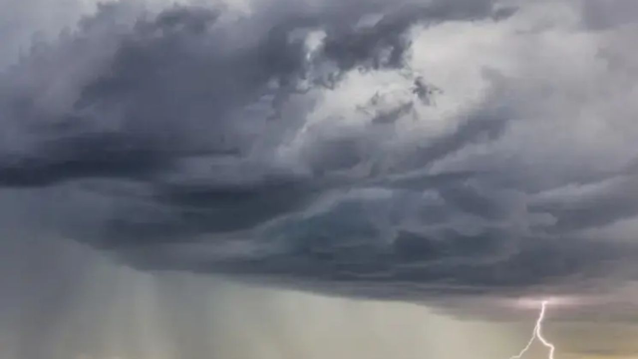
Storms will first develop west of Philadelphia during the late afternoon. From there, they will track east through the city and surrounding suburbs right during the evening commute.
Not every neighborhood will get hit. But the storms that do develop could be severe.
The strongest cells will be capable of wind gusts exceeding 60 mph, torrential rainfall, frequent cloud-to-ground lightning, and isolated flash flooding.
Flash flood warnings are very possible. If you have outdoor plans or travel scheduled for later in the day, keep a close eye on the radar.
What the Rest of the Week Looks Like
Sunday and Monday bring a slight drop in humidity, which should keep storm chances low — but the heat is not going anywhere. Expect highs in the low to mid 90s both days.
Tuesday and Wednesday, an approaching cold front will likely trigger another round of storms. Some could be strong to severe.
The good news — by the second half of next week, temperatures finally drop back out of the 90s.
Your 7-Day Forecast
Saturday: Heat advisory, evening storms. High 93°F, Low 76°F
Sunday: Sunny and hot. High 94°F, Low 76°F
Monday: Hot again. High 95°F, Low 75°F
Tuesday: Hot with storms. High 92°F, Low 76°F
Wednesday: Heatwave ends. High 87°F, Low 74°F
Thursday: Thunderstorm possible. High 86°F, Low 72°F
Friday: Chance of showers. High 84°F, Low 70°F
Are you staying safe this weekend? Drop your plans or concerns in the comments — your neighbors might be dealing with the same thing.