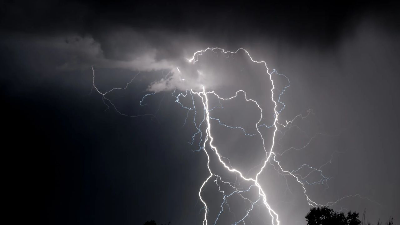
SOUTH BEND, Indiana — Severe storms are moving fast across northern Indiana this Tuesday morning, and people in the path need to know what is coming and how much time they have.
A Severe Thunderstorm Warning was in effect as of 6:45 AM ET, carrying a radar-indicated hail threat of 2 inches and wind gusts up to 60 mph. Forecasters rated the overall damage threat as “considerable” — a level that means real destruction is possible, not just a strong rain event.
Where the Storm Is Headed and When
The storm cell is tracking northeast at a steady pace, and the timing matters if you are in its path.
Mishawaka is expected to feel the impact around 7:04 AM. Middlebury and Nappanee follow between 7:27 and 7:31 AM. Warsaw is next near 7:56 AM, with Columbia City around 8:21 AM.
Further east, Auburn could see the storm by approximately 8:25 AM, with Fort Wayne in its direct path by roughly 8:45 AM.
If your town is on that list, the window to prepare is short.
This Is Not Just One Storm
The warned cell is dangerous, but it is not the only threat today.
Radar shows an organized line of storms stretching from Winamac and Rochester through Warsaw, Huntington, and Bluffton — all moving northeast. Forecasters say 1 to 2 inch hail, winds between 60 and 70 mph, and flash flooding are likely across a broad stretch of northern Indiana through the day.
A Tornado Cannot Be Ruled Out This Afternoon
The morning storm brings hail and damaging wind. But the afternoon could add another layer of danger.
Forecasters say an isolated tornado cannot be ruled out as atmospheric instability increases through the afternoon hours. That means even after the morning storms clear, the threat is not over.
What You Should Do Right Now
If you are in northern Indiana, take this seriously.
Stay indoors and away from windows. Do not drive through flooded roadways — even shallow water can sweep a vehicle off the road. Keep a weather alert source close and check radar regularly as conditions continue to develop through the day.
Are you in the path of these storms right now? Share what you are seeing in the comments — your update could help someone nearby stay safe.