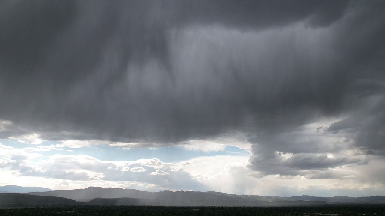
Nashville, Tennessee – Middle Tennessee residents have one final day of dry, comfortable weather before a significant and potentially disruptive storm system moves into the region this weekend, bringing heavy rainfall, repeated rounds of thunderstorms, and the risk of localized flooding beginning Saturday.
The National Weather Service has confirmed that rain chances will climb sharply to 80–90% across much of Middle Tennessee on Saturday, with storm coverage expected to remain widespread through Sunday and into early next week. Forecasters have also issued a Marginal Risk designation — Level 1 of 5 — for severe thunderstorms on Saturday, though the greater concern at this time remains heavy, repeated rainfall rather than severe wind or hail.
Communities including Nashville, Clarksville, Murfreesboro, Columbia, and Cookeville are all within the affected zone. Forecasters warn that multiple rounds of showers and thunderstorms could result in water pooling on roadways, particularly in low-lying areas and locations with poor drainage. Drivers and pedestrians should exercise added caution if venturing out Saturday through Sunday.
Temperatures will shift noticeably as the storm system arrives. After highs in the mid-80s to lower 90s through Friday, expect cooler readings in the upper 70s to mid-80s over the weekend as cloud cover and rain become more persistent.
Five-Day Forecast at a Glance:
- Thursday: Sunny. High 81–91°. 0% rain chance.
- Friday: Partly sunny. High 84–94°. 0–20% rain chance.
- Saturday: Showers and thunderstorms likely. High 79–89°. 80–90% rain chance.
- Sunday: Scattered showers and storms. High 78–86°. 40–80% rain chance.
- Monday: Partly sunny with scattered storms. High 80–89°. 40–60% rain chance.
Scattered showers are expected to continue through Tuesday before conditions gradually improve by midweek.
Residents are strongly urged to monitor local forecasts closely, avoid flood-prone roads during heavy downpours, and have a backup plan ready for any outdoor activities scheduled this weekend.