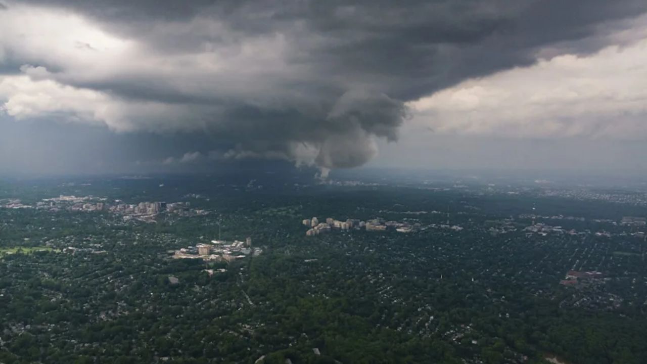
After days of turbulent weather battering large parts of the country, forecasters say the Upper Midwest is about to get hit again — and this time, the threat won’t stand alone.
According to the National Weather Service, a fresh wave of severe storms is expected to sweep through the Midwest starting Friday, bringing the risk of large hail and destructive wind gusts. The system is forecast to linger overnight, carrying its intensity into the weekend and setting the stage for a rocky start to next week.
Officials say there will be a short pause in severe activity by Saturday, but it won’t last. A series of atmospheric disturbances moving along the northern U.S. is expected to build a heat dome, one that could trap rounds of rain and unstable weather in place through the rest of the month. What remains uncertain, meteorologists say, is exactly where that dome will settle — a detail that will decide which communities face blistering heat and which face another round of violent storms.
By Sunday, a low-pressure system is expected to form near the Great Lakes and along the Canadian border, feeding off a surge of moisture pulled in from the Gulf. Forecasters warn that a combination of high instability and powerful winds in the lower atmosphere could trigger fast-developing storms by late afternoon, with damaging wind gusts posing the greatest danger.
Because of this, a Level 2 out of 5 severe storm risk has been issued for Sunday across eastern Minnesota and western Wisconsin. That threat is expected to persist into Monday, as another storm system develops over major cities stretching from Chicago to Cleveland.
By Tuesday and Wednesday, the same system is forecast to push eastward, bringing renewed rain to the Northeast and Mid-Atlantic, with accumulations expected between 1 and 2 inches in several areas.
Authorities are urging residents in the affected regions to stay alert as conditions continue to evolve throughout the week.