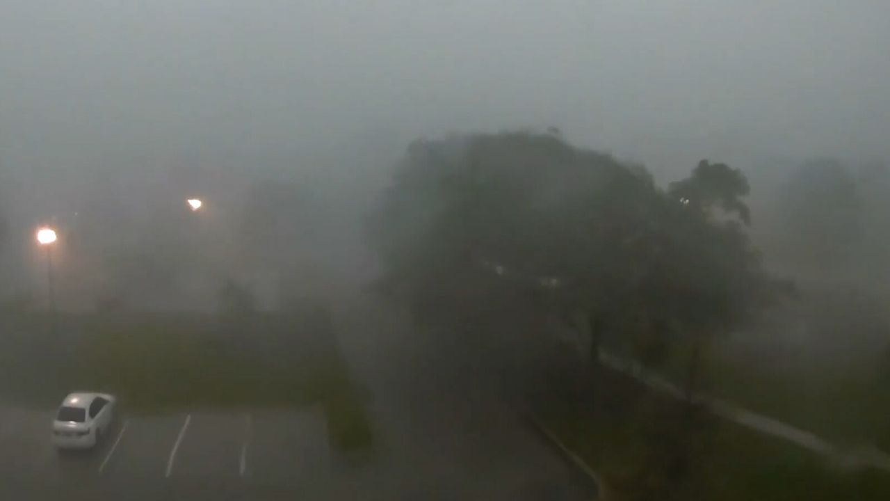
NEW YORK, N.Y. — A slow-moving band of heavy rain and thunderstorms is putting millions of residents across the Northeast and Mid-Atlantic on alert, with officials warning that saturated ground and repeated downpours could combine to trigger fast-developing flash floods between Tuesday morning and Wednesday morning.
Flood Watches have been issued for a broad stretch of the region, with forecasters at the National Weather Service and NOAA’s Weather Prediction Center pointing to a dangerous setup: storms that stall and repeatedly track over the same communities, dumping rain faster than the ground or drainage systems can handle it. General rainfall totals are expected to fall between 2 and 4 inches, but isolated pockets — particularly where thunderstorms train over one another — could see as much as 6 inches before the system clears out.
Officials say the areas facing the highest risk include southeastern New York, northern New Jersey, southwestern Connecticut, and northeastern Pennsylvania, with the Lower Hudson Valley singled out as especially vulnerable. In these regions, narrow waterways and low-lying streets can go from dry to dangerous in a matter of minutes once rainfall rates spike.
Emergency planners are urging residents in flood-prone neighborhoods to avoid unnecessary travel during the height of the storms and to steer clear of roads that have a history of ponding or rapid water rise. Drivers, in particular, are being cautioned against attempting to cross flooded streets, since even a foot or two of fast-moving water can be enough to sweep a vehicle off the road.
Forecasters note that the exact locations receiving the heaviest rain will depend on how the storm cells organize through the day, meaning some communities could escape with minimal impact while nearby areas see significant flooding. Residents are advised to monitor official weather alerts closely as the system moves through, since watches could be upgraded to warnings with little advance notice if conditions worsen.