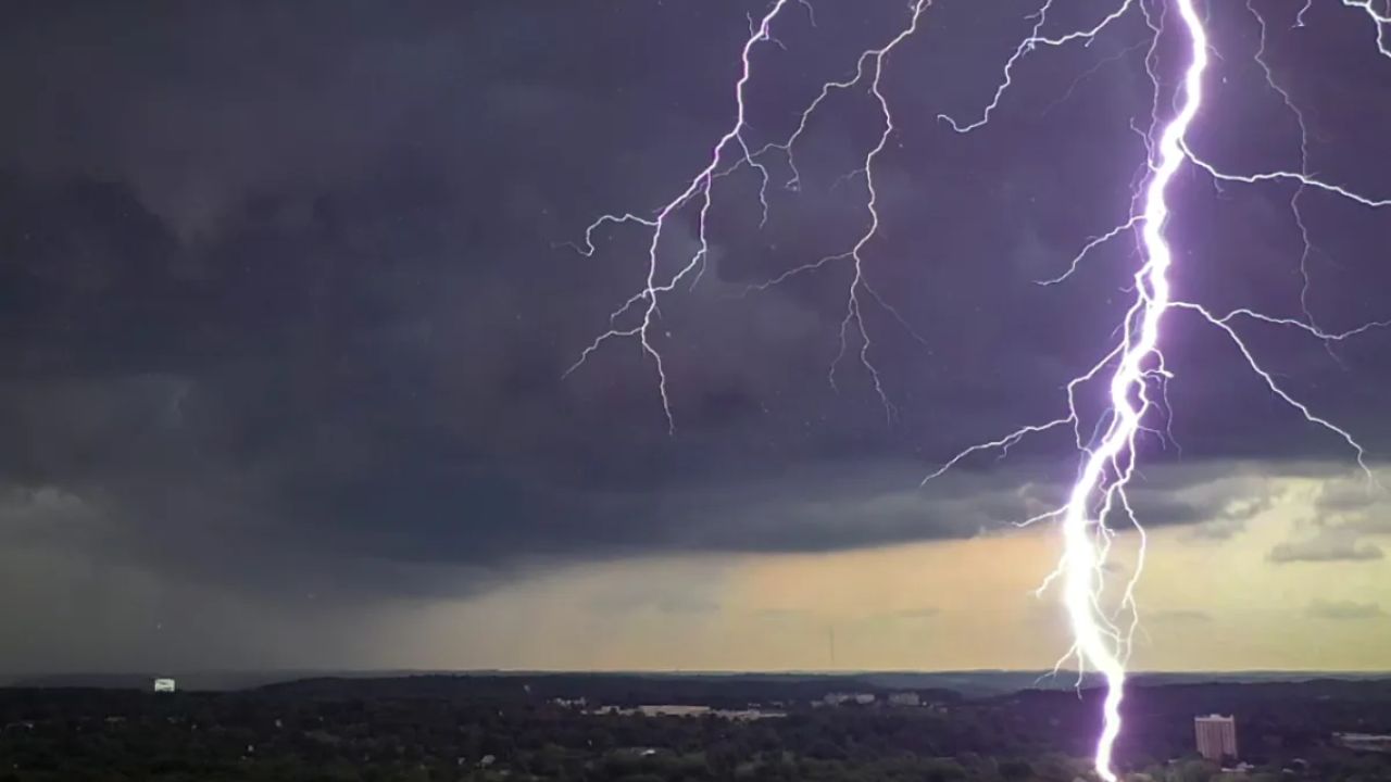
BALTIMORE, Maryland — If Tuesday felt like a breath of fresh air, enjoy the memory. Muggy conditions and stormy weather are back in Maryland as of Wednesday, and the forecast only gets more intense heading into the weekend.
Wednesday Brings Heavy Rain and Flood Risk
Overnight temperatures are settling into the 70s, but the humidity has already surged back.
A Flood Watch is in effect from 4 AM through 11 AM Wednesday morning for southern Montgomery County, Prince George’s County, and Charles County. The areas around the D.C. Beltway carry the highest flash flooding risk.
Most of the rain is expected to push through before noon, with more isolated showers and storms lingering into the afternoon. It will not be a complete washout — but wherever a storm moves through, brief heavy downpours are possible. Some storms could also produce gusty winds.
Afternoon highs will reach the mid to upper 80s.
Heat Builds Fast Toward the Weekend
Thursday is when things really start to intensify.
Afternoon temperatures will climb near 90°F — but with the humidity factored in, it will feel like the upper 90s to nearly 100°F each afternoon through the weekend.
Scattered thunderstorms will remain in the forecast during afternoon and evening hours. Any storm that fires up could bring dangerous lightning, heavy downpours, and brief street flooding.
Friday and Saturday have been flagged as possible First Alert Weather Days. Storms on those days carry a greater chance of producing heavy rain and strong winds — meaning outdoor plans are very much at risk.
Stay weather-aware and check conditions before heading out this week.
Are you prepared for the stormy stretch ahead? Let us know in the comments how the weather has been in your area.