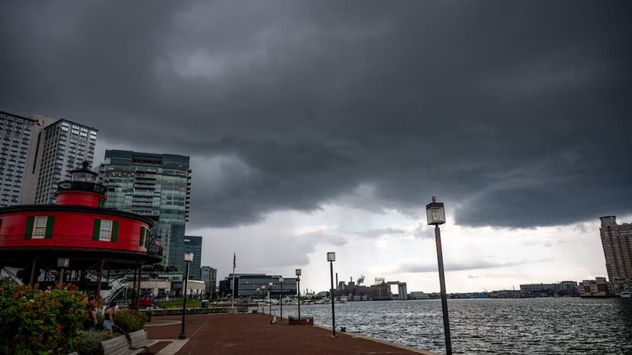
BALTIMORE, Maryland — If you have outdoor plans this weekend, you may want to think twice.
Maryland is heading into one of its most uncomfortable stretches of the summer. Heat, heavy humidity, and a real risk of severe storms are all colliding at once — and the danger is serious.
Feels-like temperatures could hit 100°F
Afternoon highs will sit in the low to mid-90s through the weekend and into next week.
But the air temperature is only part of the story. Dew points climbing into the 70s will make it feel far worse. Feels-like temperatures are expected to reach close to — and possibly above — 100°F for many neighborhoods.
Mornings may offer a brief window of dry air, but fog is possible in areas that received rain the day before. By afternoon, that window closes fast.
Friday and Saturday carry the highest storm risk
Friday is a confirmed First Alert Weather Day.
Severe storms with damaging winds are possible, and the timing could directly impact evening plans across the state. Not every area will be hit — the storm threat will be hit-or-miss — but the risk is real and should not be ignored.
Saturday is being watched closely as a potential second Alert Day, with another round of strong to severe storms expected alongside relentless heat.
A brief break — before it gets worse again
Sunday and Monday offer a small window of lower storm activity, though the heat stays.
Then Tuesday through Thursday, storm chances climb again — with Tuesday currently looking like the hottest day of the entire stretch.
A cold front is expected to move through late in the week, which could finally bring some relief. Until then, stay hydrated, limit time outdoors during peak heat hours, and watch for weather updates closely.
Are you changing your weekend plans because of this forecast? Let us know in the comments.