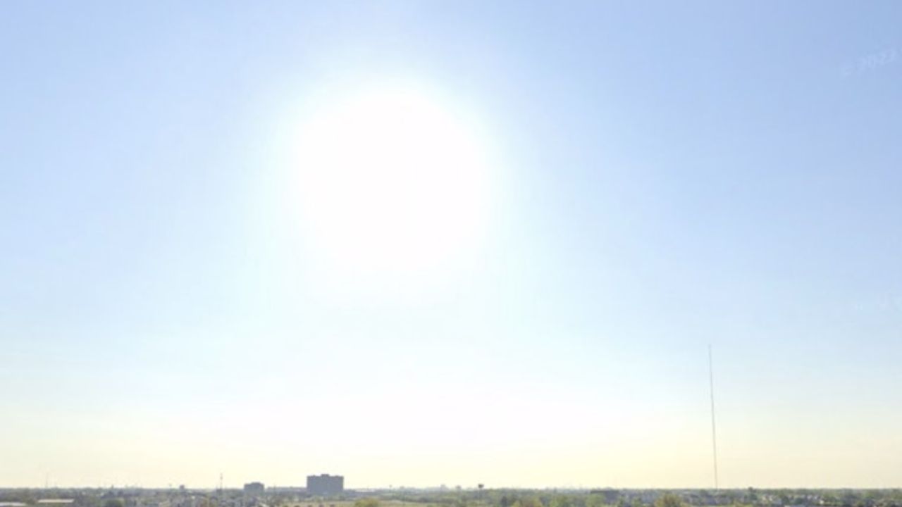
HOUSTON — Southeast Texas is bracing for a dangerous stretch of weather as a punishing heat wave collides with an approaching tropical system, prompting officials to issue back-to-back warnings for residents on Wednesday.
According to the National Weather Service, an Extreme Heat Warning has been declared for portions of southeast Texas, running from 11 a.m. Wednesday through 8 p.m. that evening. Actual air temperatures are expected to climb to around 101 degrees, but the real danger lies in the heat index — the “feels-like” temperature — which forecasters say could reach as high as 116 degrees in some areas.
Officials are urging residents to take the warning seriously, noting that heat-related illnesses become a real risk once conditions reach this level. Limiting outdoor activity during peak afternoon hours, staying hydrated, and checking on vulnerable neighbors are among the precautions being recommended. In addition to the heat warning, an Ozone Action Day has also been issued, triggering an Air Quality Alert for the region.
Adding to the concern, the National Hurricane Center is tracking Tropical Storm Bertha, currently positioned roughly 50 miles east-northeast of the Mouth of the Mississippi River. Forecasters say the storm is expected to track along the Gulf Coast and move close to the Texas-Louisiana border by around 1 p.m. Thursday.
Officials note that once Bertha nears Galveston, the system is expected to weaken into a tropical depression, meaning sustained winds should drop below 39 mph as it approaches the coastline. While the storm’s rain bands were initially expected to soak Galveston, updated tracking now shifts that heavier rainfall threat toward Corpus Christi instead, with Galveston no longer expected to see excessive rain totals from the system.
Residents across the region are being advised to monitor both the extreme heat conditions and Bertha’s shifting path closely over the next 48 hours, as forecasts could continue to change.