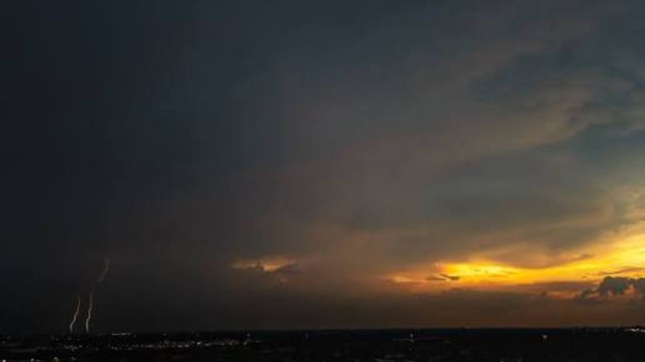
HOUSTON, Texas — The week is ending the way Houston summers usually do — hot, sticky, and unpredictable.
Scattered showers and thunderstorms are expected to roll through this afternoon as the sea breeze pushes inland. Rain chances sit around 30% for most of the area, so not every neighborhood will get wet. But the storms that do fire up could be strong ones.
What to Expect Today
Highs will reach around 96 degrees on Friday. Factor in the humidity, and it will feel like anywhere between 101 and 108 degrees outside.
A few stronger storms could bring heavy downpours, gusty winds, and lightning with little warning. Isolated spots could pick up close to an inch of rain quickly.
Harris County and areas east of I-45 sit under a Marginal Risk for excessive rainfall — the lowest level, but still worth watching. The main concern is a slow-moving storm dropping enough rain to cause brief street flooding in areas that drain poorly.
The Weekend Does Not Get Easier
Saturday and Sunday both bring a 40% chance of scattered afternoon thunderstorms, again driven by the sea breeze.
There will still be sunshine and dry stretches between storms — but do not count on the rain cooling things down much. Highs stay in the mid 90s all weekend, with heat index values hovering between 100 and 108 degrees each afternoon.
The Bigger Concern: Sunday Into Monday
Deeper tropical moisture is expected to move into the region Sunday into Monday. That means the potential for heavier, longer-lasting downpours increases heading into next week.
If you have outdoor plans this weekend, keep an eye on the sky, stay hydrated, and check on elderly neighbors or anyone who spends time outside.
The heat and storms are a combination that catches people off guard fast.
Have you been dealing with flooding or extreme heat in your neighborhood this week? Tell us what it has been like in the comments.