Kansas City, Missouri — After a round of thunderstorms swept through the region Thursday night, Kansas City residents are getting a brief break from severe weather before another potentially dangerous storm system arrives this weekend.
Forecasters say cooler and drier air moving in behind a cold front will provide pleasant conditions on Friday, but attention is already turning toward Saturday, when severe thunderstorms could once again impact much of the area.
Cooler and Drier Conditions Arrive Friday
The strongest storms from Thursday night are expected to move out of the region, allowing a refreshing change in the weather to settle in.
Friday morning temperatures will begin around 59 degrees, with sunshine dominating much of the day. The lower humidity levels will make conditions feel significantly more comfortable compared to the muggy weather experienced earlier this week.
Afternoon highs are forecast to reach the mid-80s, accompanied by relatively light winds.
For many residents, Friday will offer an opportunity to enjoy outdoor activities before the next storm system develops.
Severe Weather Threat Returns Saturday
The weather pattern becomes much more active on Saturday as another system approaches the region.
Meteorologists have designated Saturday as a First Alert Weather Alert Day due to the increasing likelihood of strong to severe thunderstorms.
Temperatures are expected to climb into the lower 80s, helping create conditions favorable for storm development.
The first round of rain is forecast to arrive during the morning hours. While those early showers and thunderstorms are expected to remain below severe levels, forecasters are monitoring a greater threat later in the day.
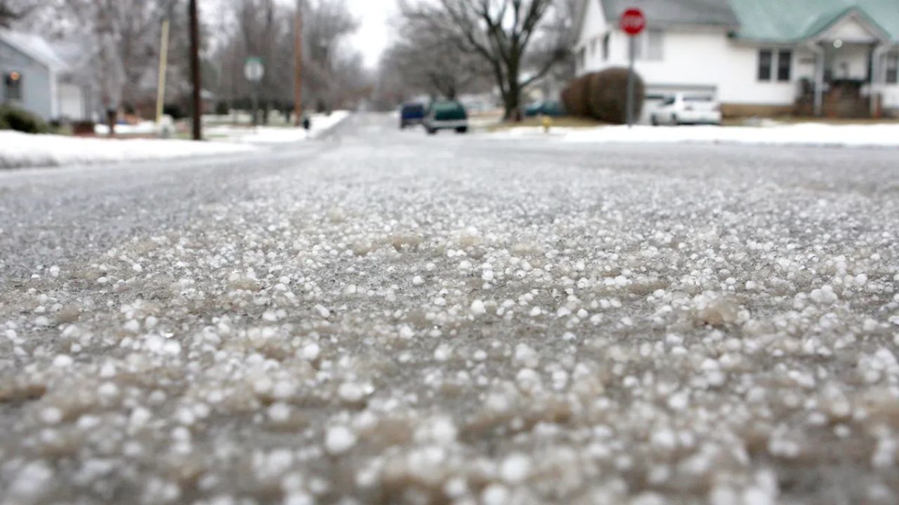
Hail, Damaging Winds and Tornadoes Possible
The most concerning period is expected during the afternoon and evening hours, when stronger thunderstorms may rapidly develop across the Kansas City metro and surrounding communities.
Nearly 50 Million at Risk as Dangerous Storm Outbreak Targets Midwest and East Coast
According to forecasters, the primary threats include:
- Damaging wind gusts
- Large hail
- Isolated tornadoes
- Heavy rainfall and dangerous lightning
Weather experts note that Saturday’s setup resembles several severe weather events that have impacted the region during the spring season.
Because storm intensity and timing can change quickly, residents are encouraged to monitor forecasts and have multiple ways to receive weather alerts throughout the day.
Cooler Air Returns for the Rest of the Weekend
The storm system is expected to move out of the area Saturday night, bringing an end to the severe weather threat.
In its wake, much cooler temperatures will settle across the region.
Sunday’s high is expected to reach only the lower 70s, while morning temperatures could dip back into the 50s, creating a noticeably different feel compared to the warmer conditions experienced recently.
The cooler weather is expected to continue into the start of next week.
Pleasant Weather Expected for World Cup Match
Looking ahead, forecasters are predicting several days of comfortable weather.
High temperatures should reach the upper 70s on Monday and approach 80 degrees on Tuesday, accompanied by relatively pleasant conditions.
Tuesday’s forecast could be especially welcome for soccer fans attending the FIFA World Cup match between Argentina national football team and Algeria national football team at Arrowhead Stadium.
For now, however, the focus remains on Saturday’s storm threat as meteorologists continue tracking conditions that could bring another round of severe weather to the Kansas City area.
Are you preparing for Saturday’s storm threat? What weather safety precautions do you take when severe thunderstorms are in the forecast? Share your thoughts and tips respectfully in the comments below.