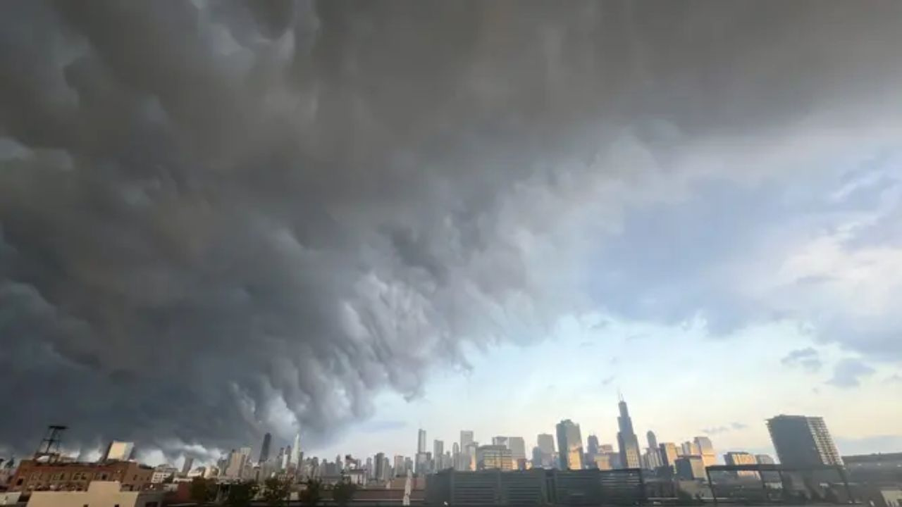
CHICAGO, Illinois — Two back-to-back days of severe weather are bearing down on the Midwest, and forecasters are not sugarcoating it.
Chicago and Detroit are both squarely in the crosshairs this weekend, with Sunday, August 9 and Monday, August 10 each carrying an elevated threat of significant severe weather.
Sunday Targets Chicago Directly
The first round arrives Sunday, with a narrow but dangerous storm corridor cutting directly through Chicago and its surrounding suburbs.
Forecasters expect organized severe storms driven by an incoming shortwave interacting with strong moisture already in place across the region.
Damaging winds are the main concern, but large hail and an isolated tornado cannot be ruled out. This is not a situation where one hazard stands alone — multiple threats will be in play at the same time.
Monday Gets Worse — and Wider
If Sunday feels serious, Monday raises the stakes further.
The threat zone on Monday expands dramatically, stretching from Iowa and Kansas in the west all the way through Chicago and Detroit, reaching nearly to Toronto on its eastern edge.
A second shortwave moves through the region that day, once again tapping into the same unstable, moisture-rich airmass. The wider footprint suggests forecasters expect both greater storm coverage and potentially higher intensity compared to Sunday.
What Residents Should Do Right Now
This is a two-day event, not a single storm to wait out.
Have a way to receive weather warnings on both days — whether that is a phone alert, a weather radio, or checking updates regularly. Know where you will shelter if a tornado warning is issued in your area.
Do not assume Sunday’s storm passing means the danger is over.
Are you in the Chicago or Detroit area? Let us know in the comments how you are preparing — your neighbors may need to hear it.