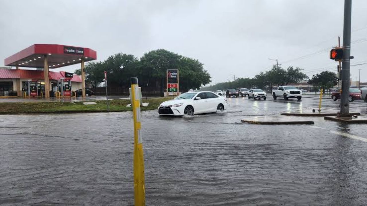
AMARILLO, TX — A tense night is ahead for residents across the western Texas Panhandle, as forecasters warn that a fresh round of thunderstorms could bring dangerous flash flooding before sunrise Wednesday.
Weather officials say storms failed to fully develop through Tuesday afternoon, but conditions are expected to shift quickly after sunset. Thunderstorm activity is forecast to push in from eastern New Mexico as early as 7 p.m. Tuesday, with the system expected to linger well past midnight — a timeline that has authorities urging residents not to let their guard down overnight.
What has forecasters most concerned isn’t wind or hail, but water. The storms are moving slowly, and slow-moving systems tend to dump rain over the same areas for extended periods. Rainfall rates could hit 2 to 4 inches per hour in some spots, a pace capable of overwhelming drainage systems in a matter of minutes.
The window considered most dangerous stretches from 7 p.m. Tuesday to 3 a.m. Wednesday, with the western Panhandle — including areas near Boise City — facing roughly a 15% chance of flash flooding. Communities farther east face a comparatively lower, but still present, risk.
Lightning and gusty winds are also expected to accompany the storms. While a widespread severe weather outbreak isn’t anticipated, officials haven’t ruled out isolated pockets of damaging wind gusts overnight.
Emergency officials are urging Panhandle residents to take a few simple precautions before heading to bed: keep a phone or weather radio nearby to catch overnight alerts, avoid driving across flooded roads even if they appear shallow, and stay alert to changing conditions well after midnight, when the risk is expected to peak.
Conditions are expected to gradually calm down after sunrise Wednesday, with storm chances tapering off through the morning as the system moves out of the region.