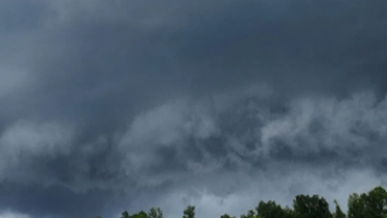
CINCINNATI, Ohio — The skies over the Ohio Valley are not forgiving today.
A significant flash flooding threat is bearing down on communities from southern Ohio through northern Kentucky and into the mountains of West Virginia — and forecasters are urging residents to take it seriously.
Why Today Feels Different
The ground is already soaked.
Soils across much of the region are saturated from previous storms, which means there is nowhere for new rainfall to go. When the next wave of heavy rain arrives, creeks and streams can rise with little to no warning.
Forecasters are calling for rainfall rates of up to 3 inches per hour in the most intense storms. Some locations could see totals reach 6 inches before the day is done.
Who Is at Greatest Risk Right Now
The highest danger is centered on a moderate risk zone covering Cincinnati, Dayton, Maysville, and Huntington, West Virginia.
The mountainous terrain of West Virginia is a particular concern. In steep valleys and narrow hollows, water has nowhere to spread — it channels fast and rises faster.
Low-lying roads, small creeks, and underpasses in these areas could become dangerous in minutes.
The Threat Reaches Further Than You Think
A broader slight risk zone extends from Chicago and South Bend through Columbus, Pittsburgh, and all the way to Baltimore and Washington DC.
The DC and Baltimore metro areas were specifically flagged after storms the day before left soils already at capacity. Even lighter rainfall totals could trigger flooding there.
What You Should Do Right Now
Do not wait for water to appear before you act.
Avoid driving through flooded roads — just a few inches of moving water can sweep a vehicle off course. Stay away from creeks and streams. If you live near a low-lying area or hollow, have a plan to leave quickly.
Monitor local alerts throughout the day. Conditions can change fast.
Have you seen flooding in your area today? Share what you’re seeing in the comments — it could help your neighbors stay safe.