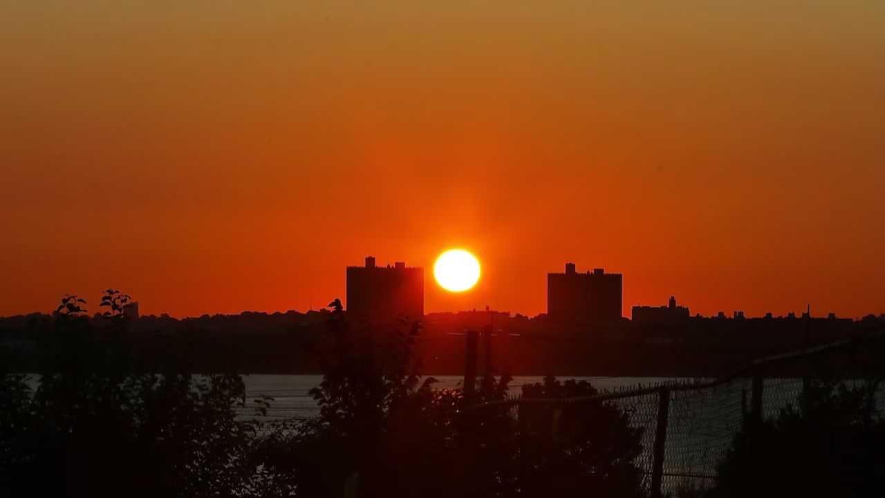
NEW YORK CITY, New York — The heat is not letting up. And now, the storms are coming back.
Saturday has been declared a First Alert Weather Day for the NYC area, as a tropical airmass continues to bring oppressive heat and a renewed threat of severe thunderstorms.
A heat advisory is in effect through 8 p.m. Saturday.
What to expect on Saturday
The morning starts with sunshine — but do not let that fool you.
Strong to severe storms are expected by the afternoon. Flash flooding and damaging winds are the main concerns, much like what the area saw on Friday.
Saturday’s storms should be slightly less intense and less widespread than Friday’s. But the heat will still be punishing.
Highs will top out in the upper 80s to low 90s. With humidity factored in, it will feel anywhere between 95 and 100-plus degrees — dangerously hot for anyone spending time outside.
Sunday brings a bit of a break
Humidity levels are expected to ease up on Sunday, making the heat feel more manageable.
Temperatures will still sit in the upper 80s to low 90s, but that heavy, sticky air should ease. The storm threat drops sharply too — just an isolated chance remains.
A few things to keep in mind this weekend
Stay hydrated and avoid long stretches outdoors during peak afternoon heat. Keep storm updates running on your phone throughout Saturday. Check on elderly neighbors and anyone without air conditioning — this kind of heat can become dangerous quickly, and often quietly.
Feeling the heat in your neighborhood, or already dealing with storm damage? Tell us what it looks like where you are in the comments.