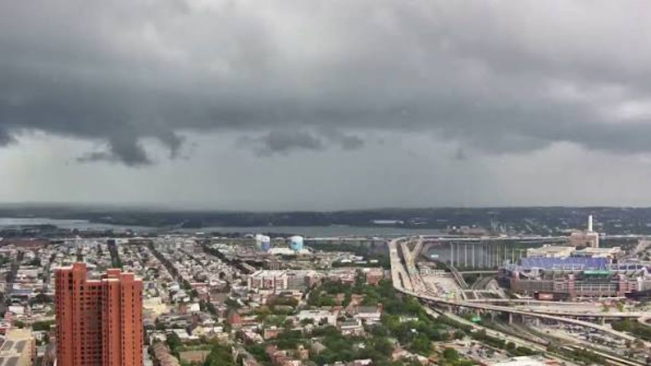
BALTIMORE, Maryland — If you live in or around Baltimore, the threat is not over yet.
While the rest of the D.C. Metro region has gotten some relief, Baltimore and its surrounding communities are still under an active Flood Watch into the afternoon — and pockets of heavy rain are still falling right now.
Which Areas Are Still at Risk
The watch covers a corridor running from Owings Mills and Towson through Baltimore, Glen Burnie, and Severna Park, extending down toward Annapolis and along the Chesapeake Bay shoreline.
This zone remains on alert specifically because heavy rain bands continue to set up across these communities, creating the real possibility of localized flooding wherever the rain concentrates.
Washington, D.C. and areas to the west have had their watch discontinued as conditions improved there. But Baltimore is not out of the woods yet.
Boaters on the Bay Should Stay Off the Water
A separate Small Craft Advisory is in effect for portions of the Chesapeake Bay south of Annapolis, stretching toward North Beach and Prince Frederick.
If you had plans on the water today, this is not the day.
What About the Rest of the Region
Outside the Baltimore corridor, the picture is calmer. Washington, Alexandria, and Northern Virginia are seeing only spotty showers for the rest of the afternoon.
The catch? The air is still extremely humid and sticky — uncomfortable conditions will linger even as the flood threat fades for most.
If you are in Baltimore or any of the surrounding communities still under the watch, keep checking conditions through the afternoon and avoid low-lying or flood-prone areas.
Are you seeing flooding or heavy rain in your neighborhood right now? Let us know in the comments below.