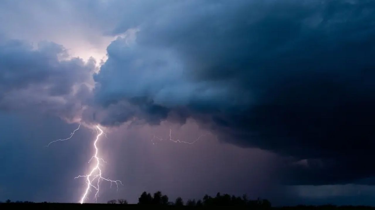
BALTIMORE — July pushed Baltimore through it all — scorching heat, violent storms, and relentless rain — and now the region is bracing for a complete turnaround as August begins.
The month didn’t hold back. Three straight days of triple-digit heat baked the metro early on, while three separate severe weather outbreaks tore through the area, unleashing damaging winds, large hail, flash flooding, and even tornadoes. For many residents, it felt like the sky simply wouldn’t calm down.
By the numbers, BWI Airport logged 5.71 inches of rainfall for the month — a total that pushed well past what’s typical for July. But that figure barely tells the full story. Several neighborhoods across the Baltimore area saw closer to 7 inches, according to the National Weather Service, underscoring just how unevenly the storms dumped their rain across different pockets of the region.
Now, forecasters say the pattern is about to flip entirely.
A temperature outlook covering July 29 through August 3 shows much of the Mid-Atlantic and Northeast running noticeably cooler than normal, with departures of 1 to 3 degrees Celsius below average. Maryland, Pennsylvania, and Virginia are expected to see the sharpest dip, with some spots running as much as 3 degrees below normal.
Just as notable is what forecasters aren’t predicting: no major storms, no severe outbreaks, and no repeat of July’s chaos anytime soon. Meteorologists say the so-called “Big Boomers” that defined last month are expected to stay off the radar for the foreseeable future.
For a region that just weathered one of its most turbulent Julys in recent memory, the shift couldn’t come at a better time — offering residents a rare stretch of calm before whatever August ultimately has in store.