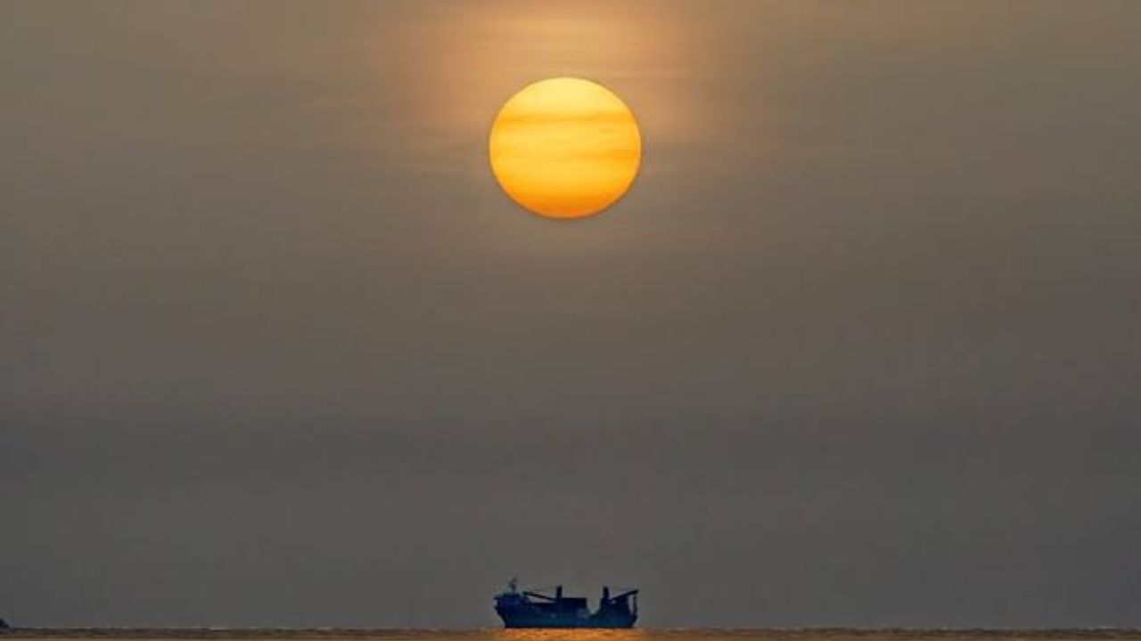
Miami, FL — Something strange is settling over South Florida’s skyline this week, and it has nothing to do with storms. A massive cloud of dust from thousands of miles away is drifting in, and it’s already changing how the region’s weather behaves.
A fresh wave of Saharan dust is sweeping across the tropical Atlantic and settling over South Florida, turning clear skies hazy and disrupting the usual summer rain pattern. Officials say this isn’t a one-time event — it happens almost every year between late June and mid-August, when easterly winds pick up fine desert particles from the Sahara and carry them thousands of miles across the ocean.
What makes this dust layer notable is its effect overhead. It works like an invisible lid, holding back the vertical buildup of clouds that normally fuels South Florida’s afternoon downpours. That means fewer typical thunderstorms — but not necessarily calmer weather. Experts caution that when storms do manage to break through the dust layer, they can turn more intense and severe than usual.
Forecast models tracking the plume’s movement show it continuing to push westward, keeping South Florida under its influence into the first days of August.
Beyond the weather shift, the dust brings a more immediate concern for residents: hazy air, reduced visibility, and dip in air quality. People managing asthma, allergies, or other breathing conditions are being urged to watch for symptoms and limit time outdoors if the haze thickens.
Even with less rain expected, the heat and humidity that define South Florida summers aren’t going anywhere, and isolated afternoon storms can still pop up despite the dust’s influence.
Residents are being advised to keep an eye on local forecasts in the coming days, especially if weekend or outdoor plans could be affected by shifting conditions.