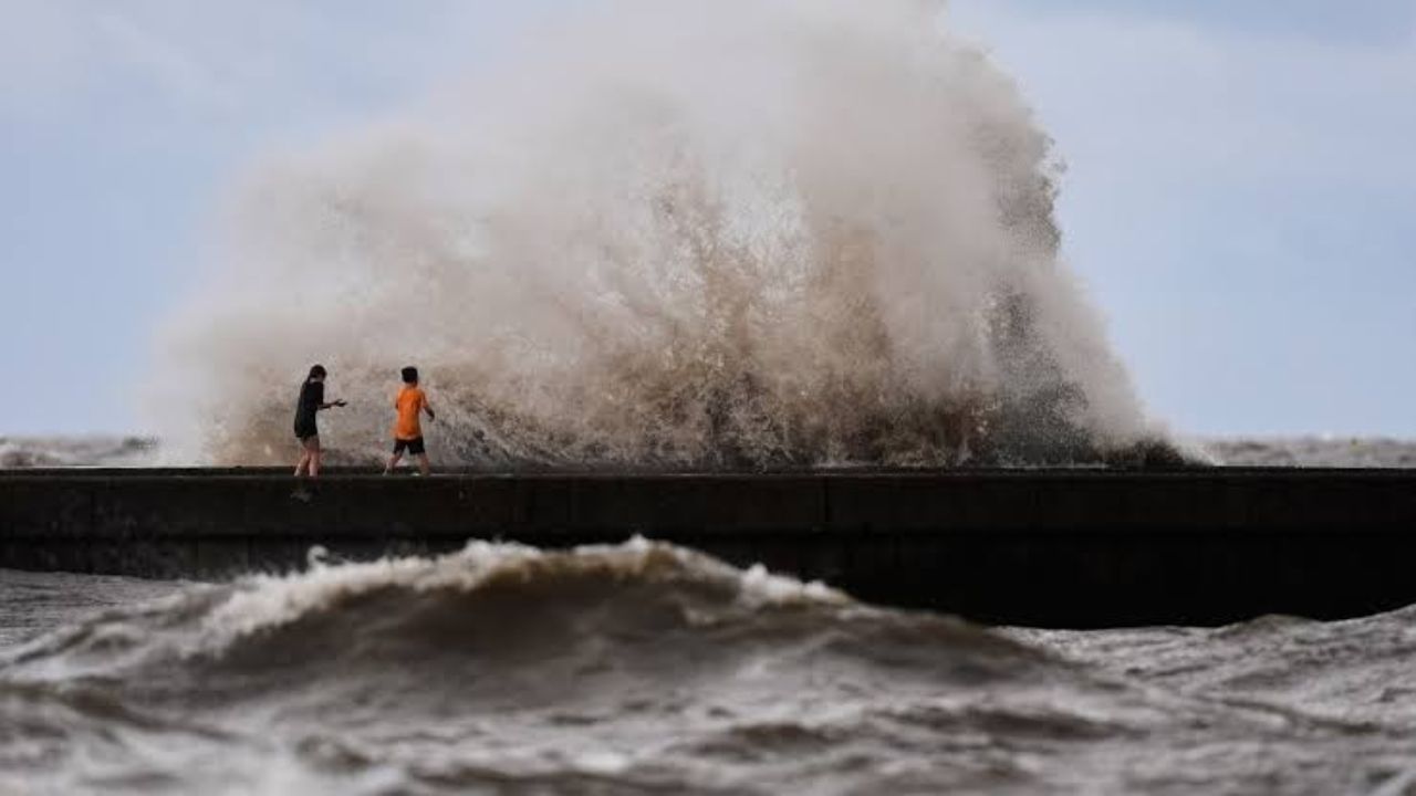
HOUSTON — A storm that forecasters expected to fade out is instead holding its ground, and now a stretch of the Texas Gulf Coast is bracing for direct impact.
The National Hurricane Center confirmed that a Tropical Storm Watch remains active along portions of the Texas coastline, including Galveston and Jamaica Beach, as Tropical Storm Bertha continues its slow crawl toward the shore.
According to the latest advisory, Bertha is moving west-northwest at roughly 6 mph, with maximum sustained winds holding at 50 mph. While the system did lose some strength over the past day, officials now say it is no longer expected to fizzle into a weak depression before reaching land, as earlier forecasts had predicted.
Meteorologists are calling Bertha an unusually messy and disorganized system, a characteristic that is making it harder than usual to pin down its exact path and the scope of its impact once it moves onshore in Texas.
Despite the storm holding onto more strength than expected, the rainfall outlook has stayed largely unchanged. The heaviest bands of rain are still projected to fall south of the storm’s center. That means if Bertha’s core tracks toward the Galveston and Houston area as forecast, communities near Corpus Christi could end up facing the worst of the flooding rainfall, not the areas directly under the storm’s path.
The most recent excessive rainfall outlook backs this up, showing the highest-risk zone stretching from Louisiana down through Corpus Christi, while largely sparing Southeast Texas from the heaviest totals.
Officials are urging residents across the watch area to stay alert and continue monitoring updates as the storm approaches. With hurricane season still active, authorities are reminding coastal communities to keep emergency preparations in place, even for storms that appear to be losing power.