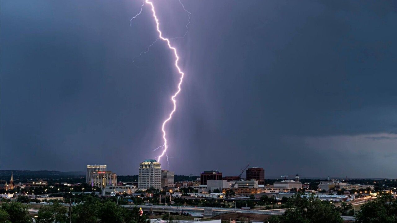
Southern Colorado residents are being urged to stay vigilant as a powerful monsoon surge threatens to unleash dangerous flash flooding across the region Wednesday and Thursday — with conditions capable of turning deadly with almost no warning.
Forecasters say monsoon moisture is rapidly building across the area, pushing the storm threat to its highest levels of the week midweek. The greatest danger isn’t just the storms themselves — it’s what happens when heavy rain pounds terrain still scarred from recent wildfires.
The Aspen Acres burn scar has been flagged as a critical concern. When a wildfire destroys vegetation, the ground loses its ability to absorb rainfall. Even a brief, intense downpour can send a wall of water, mud, and debris surging through canyons in a matter of minutes — faster than most people can react.
Flash flood risk is expected to begin Tuesday and may stretch into the weekend as waves of storms roll across the mountains and foothills. Communities including Pueblo, Colorado Springs, Cañon City, Salida, Trinidad and Walsenburg are all in the zone for scattered afternoon and evening thunderstorms, with some storms capable of producing heavy downpours, dangerous lightning and powerful wind gusts.
Meanwhile, the Arkansas Valley and southeast plains — including La Junta and Lamar — will bake under high temperatures reaching the upper 90s to low 100s, even as storms fire up nearby.
Officials are issuing a critical warning: you do not need to be standing in the rain to be in danger. Storms erupting several miles away in the mountains can send floodwaters rushing into lower canyons and valleys within minutes, catching hikers and campers completely off guard.
Anyone planning to hike, camp or travel through mountain areas or near burn scar zones this week is strongly advised to check conditions before heading out, and to move to higher ground immediately if skies darken or heavy rain begins.
Additional flood advisories are likely as the monsoon continues to strengthen through the week.