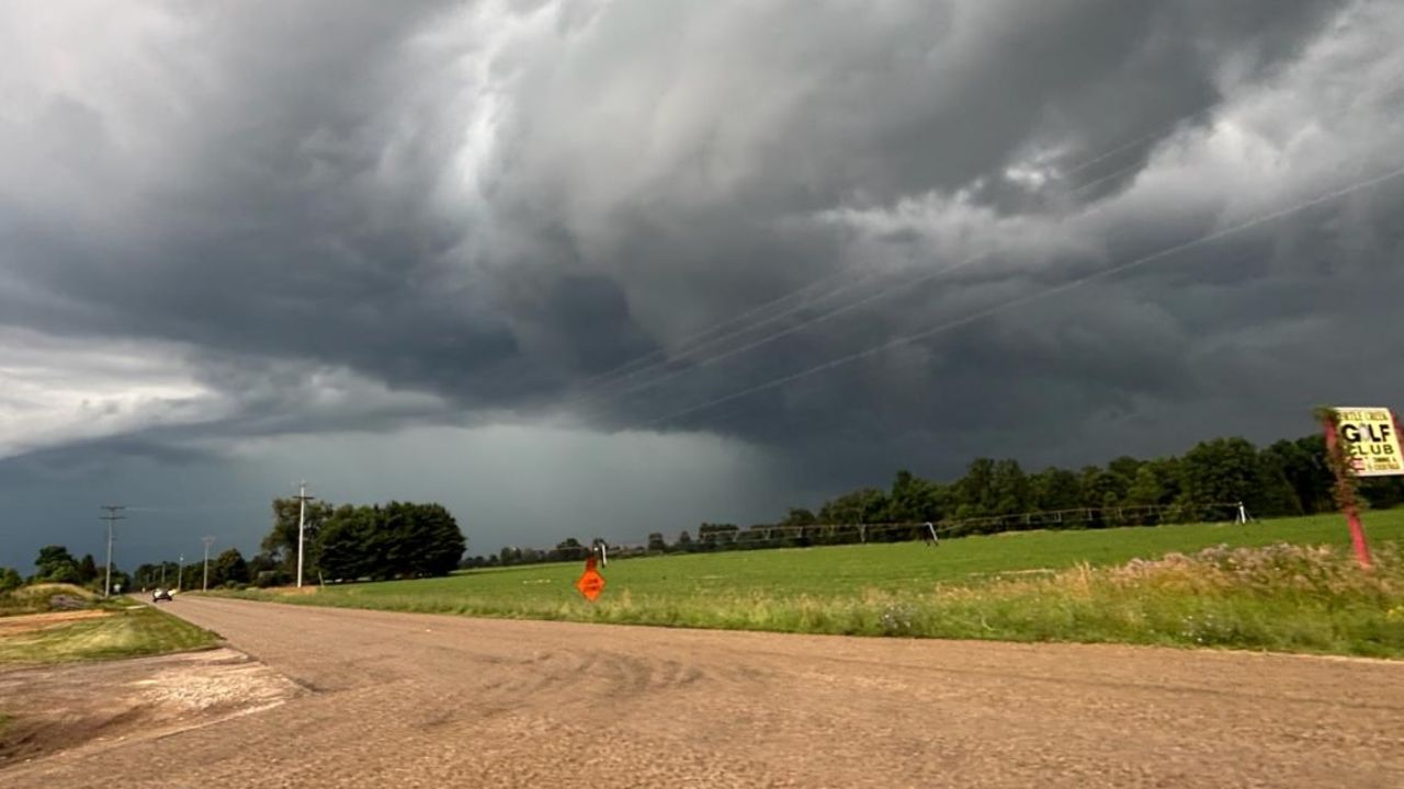
Northern Michigan- Residents across northern Michigan are being urged to stay alert this Friday night as a wave of potentially dangerous thunderstorms prepares to move through the region — and forecasters warn the worst could arrive while many are asleep.
Shower and thunderstorm activity is expected to increase significantly during the late evening hours and continue well into the overnight period. Meteorologists have placed much of northern Lower Michigan under a Level 1 of 5 — Marginal — risk for severe weather, meaning isolated storms capable of causing real damage are possible, even if widespread severe weather is not anticipated.
Highest risk communities
Traverse City, Gaylord, Petoskey, Alpena, Cadillac, Grayling, Mio, Rogers City
Any storm that develops to severe levels could bring damaging wind gusts, large hail, frequent lightning, and torrential rainfall capable of causing localized flooding. Storms are forecast to develop in clusters before gradually weakening through the overnight hours.
What to do before tonight
- Secure all loose outdoor furniture, equipment, and decorations
- Move indoors immediately if thunder is heard
- Identify sturdy shelter if you are camping or boating
- Monitor multiple weather alert channels throughout the evening
Drivers on U.S. 131, I-75, U.S. 31, and M-32 Friday night should be prepared for rapidly deteriorating visibility, heavy rainfall, and ponding water on roadways. Conditions can change within minutes — travel only if necessary.
Forecasters are continuing to monitor the situation and may issue additional watches or warnings if storm strength increases before Friday night. Residents are strongly advised to have a weather radio, phone alert system, or local broadcast source ready before going to bed.
Do not wait for a warning to take action — by then, the storm may already be at your door.